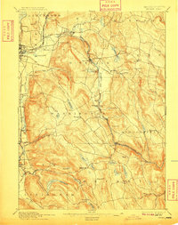
1897 Map of Becket
USGS Topo · Published 1909About this map
The Housatonic River and the Boston and Albany Railroad define the industrial and transportation corridor of the Berkshires at the end of the nineteenth century. This survey documents the transition between the growing city of Pittsfield and the smaller mountain hamlets like Becket Center, Peru, and West Becket. The landscape is dominated by heavy water power and storage infrastructure, including the Plunkett Reservoir and Ashley Lake, which supported the region's manufacturing needs.
Find a feature on this map
73 named features on this map. Tap any name to fly to it.
Don’t see what you’re looking for? This feature index may not catch every label — zoom into the map to look around manually.
Map Details
Editions of this 1897 Becket Map
8 editions found
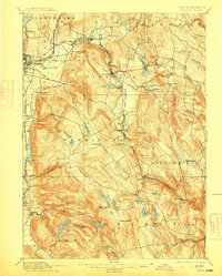
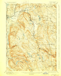
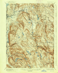
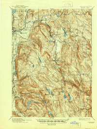
Other maps of this area

1885 · Sheffield
USGS Topo · 1:62,500

1886 · Greylock
USGS Topo · 1:62,500

1886 · Hawley
USGS Topo · 1:62,500

1886 · Chesterfield
USGS Topo · 1:62,500

1886 · Becket
USGS Topo · 1:62,500

1887 · Granville
USGS Topo · 1:62,500

1888 · Sheffield
USGS Topo · 1:62,500

1888 · Becket
USGS Topo · 1:62,500

1888 · Berlin
USGS Topo · 1:62,500

1888 · Sandisfield
USGS Topo · 1:62,500