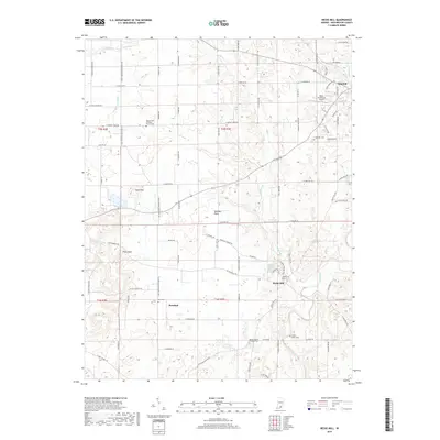
2019 Map of Becks Mill
USGS Topo · Published 2019About this map
Becks Mill and the surrounding karst topography of the Mitchell Plain define this southern Indiana landscape just west of Salem. The region is characterized by significant subterranean drainage, as evidenced by the Lost River and S Fork Lost River, which are known for their disappearing segments in this limestone-rich terrain. Along the southern portion of the quadrangle, the Blue River and its tributaries, including Miller Cr and Mill Creek, underscore the historical reliance on water power that supported early local industries.
Find a feature on this map
92 named features on this map. Tap any name to fly to it.
Don’t see what you’re looking for? This feature index may not catch every label — zoom into the map to look around manually.
Map Details
Editions of this 2019 Becks Mill Map
This is the sole edition of this map. No revisions or reprints were ever made.
Other maps of this area

1947 · Hardinsburg
USGS Topo · 1:24,000

1949 · Hardinsburg
USGS Topo · 1:24,000

1950 · Salem
USGS Topo · 1:24,000

1950 · Becks Mill
USGS Topo · 1:24,000

1950 · Palmyra
USGS Topo · 1:24,000

1951 · Smedley
USGS Topo · 1:24,000

1953 · Fredericksburg
USGS Topo · 1:24,000

1953 · Kossuth
USGS Topo · 1:24,000

1956 · Vincennes
USGS Topo · 1:250,000

1957 · Vincennes
USGS Topo · 1:250,000