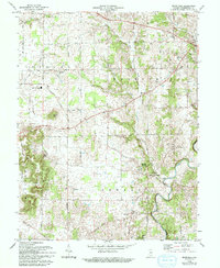
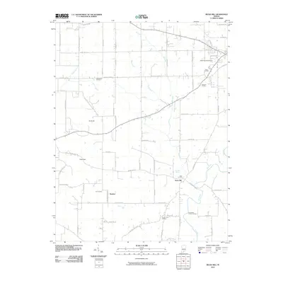
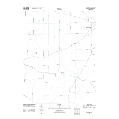
1966 Map of Becks Mill
USGS Topo · Published 1994About this map
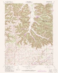
Becks Mill and the surrounding Washington County countryside appear here as they were documented in the mid-1960s. The landscape is defined by the winding course of the Blue River and the rural crossroads of Rosebud. Local social and civic life is anchored by institutions like the Mount Tabor Ch, Smedley Ch, and the West Washington Sch. This survey provides a precise look at the transition from traditional agricultural land to mid-century development, particularly around Salem where the Salem Speedway and a Drive-in Theater are established landmarks near the Salem Municipal Airport.
Find a feature on this map
40 named features on this map. Tap any name to fly to it.
Don’t see what you’re looking for? This feature index may not catch every label — zoom into the map to look around manually.
Map Details
Editions of this 1966 Becks Mill Map
2 editions found
Historical Maps of Salem Through Time
27 maps found
1950 Becks Mill
Washington County, IN
1951 Smedley
Washington County, IN
1953 Kossuth
Washington County, IN
1955 South Boston
Washington County, IN
1963 Kossuth
Washington County, IN
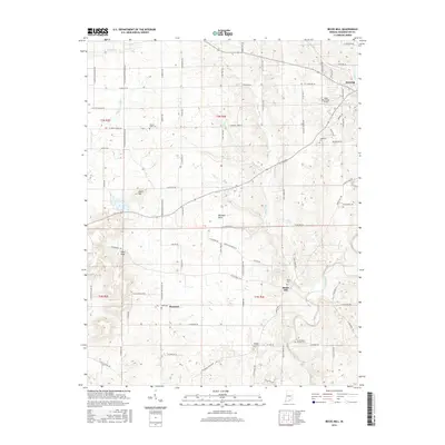
1966 Becks Mill
Washington County, IN
1966 Smedley
Washington County, IN
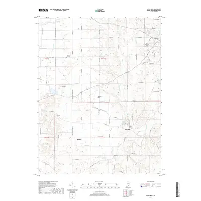
2010 Becks Mill
Washington County, IN
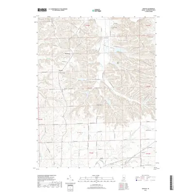
2010 Kossuth
Washington County, IN
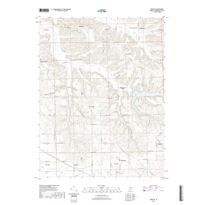
2010 Smedley
Washington County, IN
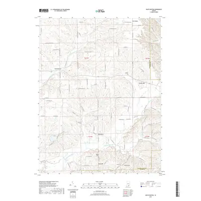
2010 South Boston
Washington County, IN
2013 Becks Mill
Washington County, IN
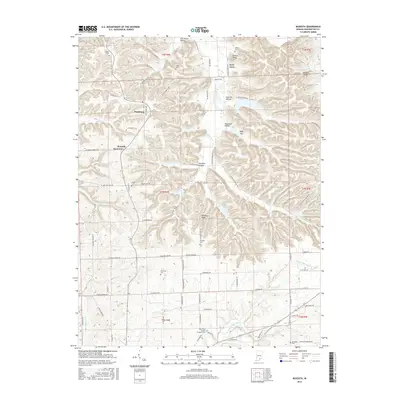
2013 Kossuth
Washington County, IN
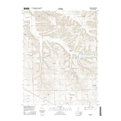
2013 Smedley
Washington County, IN
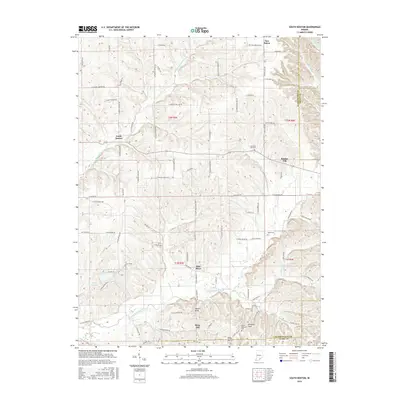
2013 South Boston
Washington County, IN
2016 Becks Mill
Washington County, IN
2016 Kossuth
Washington County, IN
2016 Smedley
Washington County, IN
2016 South Boston
Washington County, IN
2019 Becks Mill
Washington County, IN
2019 Kossuth
Washington County, IN
2019 Smedley
Washington County, IN
2019 South Boston
Washington County, IN
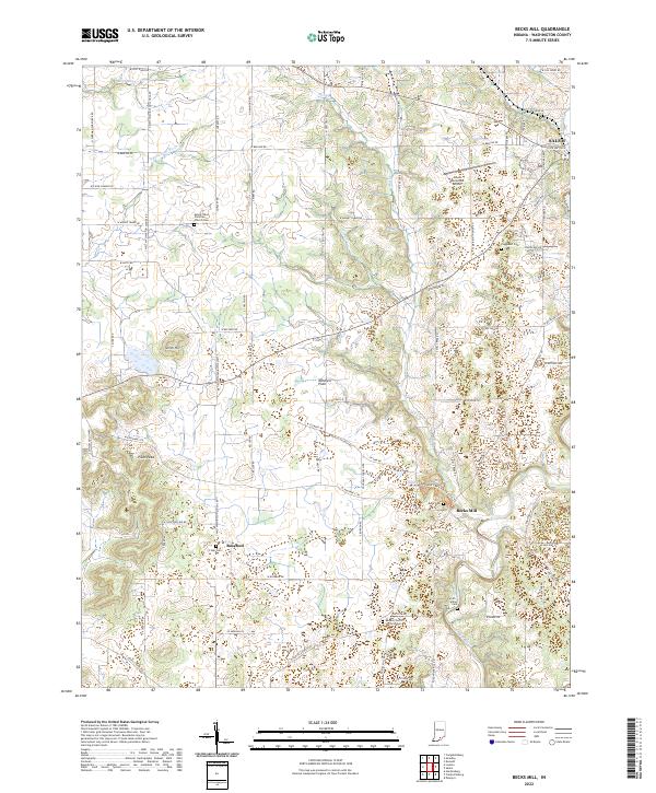
2022 Becks Mill
Washington County, IN
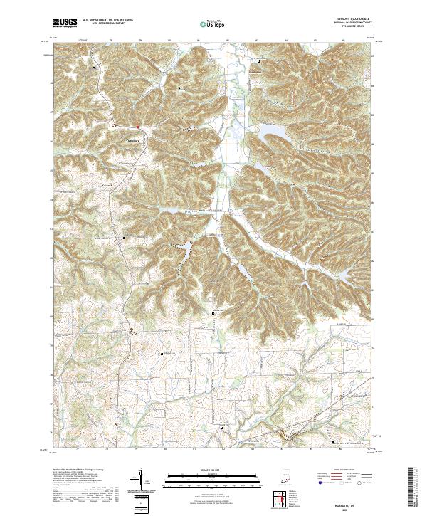
2022 Kossuth
Washington County, IN
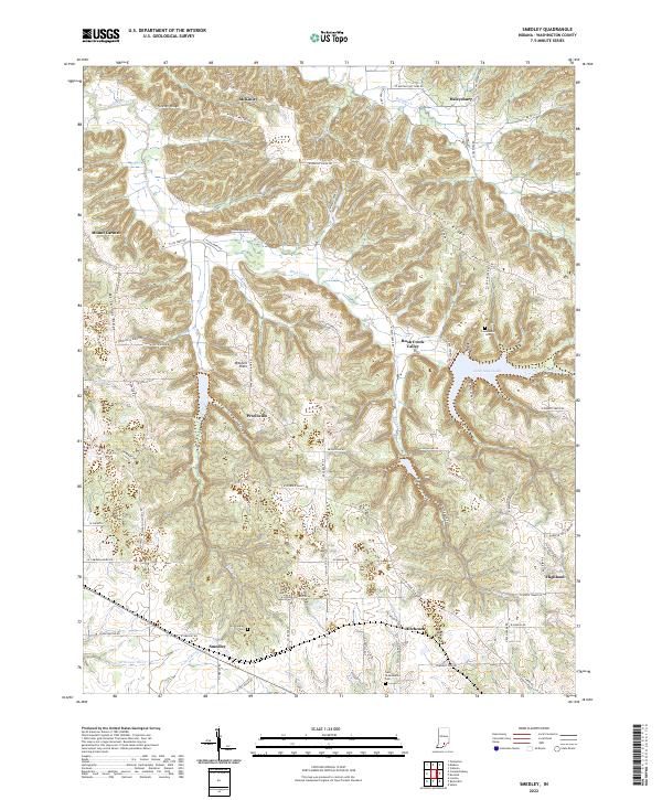
2022 Smedley
Washington County, IN
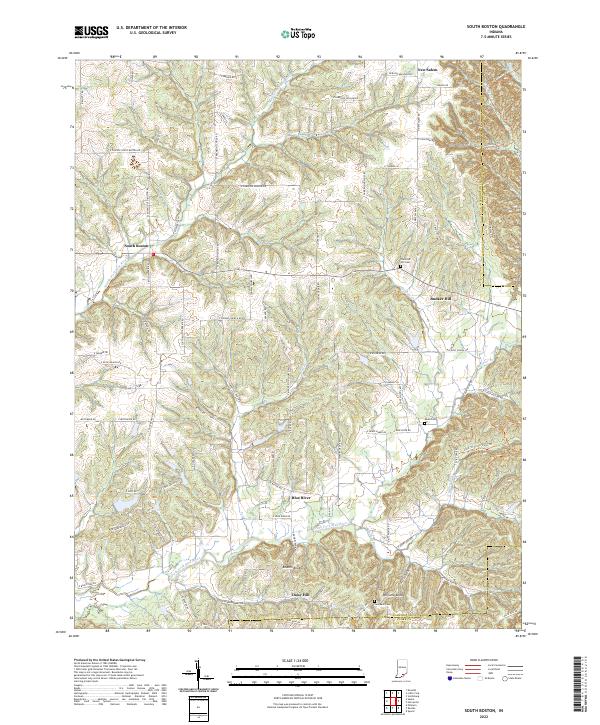
2022 South Boston
Washington County, IN