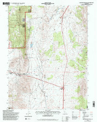
1994 Map of Beckwourth Pass
USGS Topo · Published 1998About this map
Beckwourth Pass serves as the focal point of this late-century landscape, marking a critical transit corridor where the Feather River meets the eastern Sierra Nevada. The terrain is characterized by the wide expanse of Upper Long Valley and the Dinwiddie Arm, showing a mix of ranching, mining, and timber management. Industrial activity is evident through several Strip Mine locations, a Quarry, and the Long Valley Mill. Transportation hubs such as Hallelujah Junction and Reno Junction underscore the area's role as a crossroads near the California Nevada border. Small settlements and specialized landmarks like Scotts, a lonely Cemetery, and the Chilcoot (Site) offer specific points of interest for those tracing the history of the Plumas National Forest and its surrounding public lands.
Find a feature on this map
31 named features on this map. Tap any name to fly to it.
Don’t see what you’re looking for? This feature index may not catch every label — zoom into the map to look around manually.
Map Details
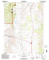
Editions of this 1994 Beckwourth Pass Map
2 editions found
Other maps of this area

1890 · Sierraville
USGS Topo · 1:125,000

1891 · Reno
USGS Topo · 1:125,000

1892 · Sierraville
USGS Topo · 1:125,000

1893 · Reno
USGS Topo · 1:125,000

1894 · Sierraville
USGS Topo · 1:125,000

1950 · Chilcoot
USGS Topo · 1:62,500

1950 · Reno
USGS Topo · 1:62,500

1951 · Reno
USGS Topo · 1:62,500

1955 · Loyalton
USGS Topo · 1:62,500

1957 · Dogskin Mountain
USGS Topo · 1:62,500