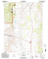
1994 Map of Beckwourth Pass
USGS Topo · Published 1998About this map
Plumas National Forest and the Beckwourth Ranger District dominate the western portion of this 1990s-era survey, where the Sierra Nevada mountains meet the high desert of the Great Basin. The landscape is defined by the historic passage through Beckwourth Pass, known as the lowest mountain pass in the Sierra Nevada. This corridor facilitates vital transportation links, including the Feather River National Scenic Byway and the Chilcoot Tunnel, which pierce the terrain to connect the Long Valley floor with points west.
Find a feature on this map
31 named features on this map. Tap any name to fly to it.
Don’t see what you’re looking for? This feature index may not catch every label — zoom into the map to look around manually.
Map Details
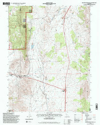
Editions of this 1994 Beckwourth Pass Map
2 editions found
Other maps of this area

1890 · Sierraville
USGS Topo · 1:125,000

1891 · Reno
USGS Topo · 1:125,000

1892 · Sierraville
USGS Topo · 1:125,000

1893 · Reno
USGS Topo · 1:125,000

1894 · Sierraville
USGS Topo · 1:125,000

1950 · Chilcoot
USGS Topo · 1:62,500

1950 · Reno
USGS Topo · 1:62,500

1951 · Reno
USGS Topo · 1:62,500

1955 · Loyalton
USGS Topo · 1:62,500

1957 · Dogskin Mountain
USGS Topo · 1:62,500