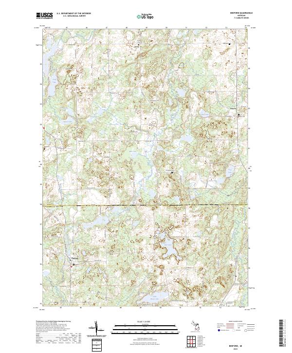
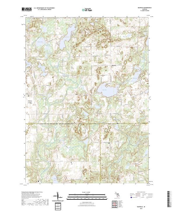
2023 Map of Bedford
USGS Topo · Published 2023About this map
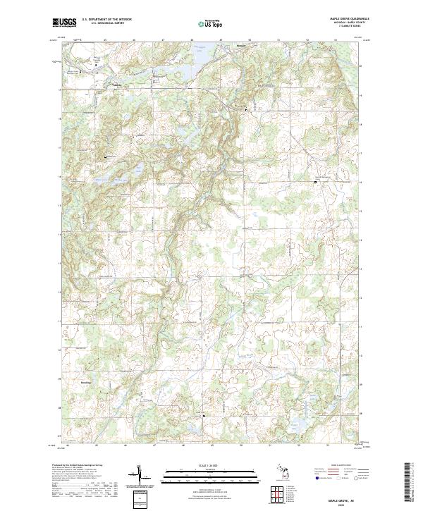
Bedford serves as a primary settlement anchor along the southern edge of this landscape, situated where the terrain transitions across the Barry Co Calhoun Co line. The area is characterized by an intricate glacial topography of wetlands and small kettle lakes, including Saint Marys Lake and the marshy reaches of Wabascon Creek. To the north, the small rural communities of Lacey and Assyria are established at road junctions, each maintaining its own local identity through namesake burial grounds. Genealogical interest is particularly high here, as the map documents numerous small cemeteries scattered across the townships, such as Checkered Cem, Iden Cem, and Hicks Cem. The drainage patterns of Mud Creek and Wanadoga Creek further define the rural character of these townships, illustrating a persistent agricultural and residential layout that follows the section lines of the Public Land Survey System.
Find a feature on this map
104 named features on this map. Tap any name to fly to it.
Don’t see what you’re looking for? This feature index may not catch every label — zoom into the map to look around manually.
Map Details
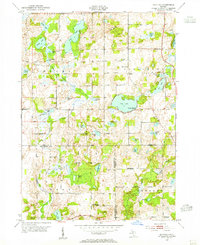
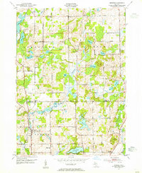
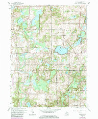
Editions of this 2023 Bedford Map
This is the sole edition of this map. No revisions or reprints were ever made.
Historical Maps of Pennfield Charter Township Through Time
10 maps found
Featured Locations
- Johnstown Township, MI
- Bedford Charter Township, MI
- Pennfield Charter Township, MI
- Assyria, Assyria Township
- Lacey, Johnstown Township