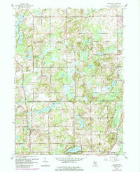
1961 Map of Bedford
USGS Topo · Published 1985About this map
The boundary between Barry and Calhoun counties defines this mid-century landscape of agricultural basins and water-filled kettle holes. Small rural hamlets like Lacey and Assyria are centers of community life, supported by a network of one-room schoolhouses such as Pleasantview Sch and Monroe Sch. The terrain is characterized by its high concentration of lakes and wetlands, including the larger Wabascon Lake and St Marys Lake, which reflect the area's post-glacial topography. Local history is anchored by several burial grounds including Ellis Cem and Bedford Cem, while more modern developments like the Sky Valley Landing Strip and Marywood Country Club hint at the area's mid-20th-century transition toward recreation and low-density residential expansion near the settlement of Bedford.
Find a feature on this map
46 named features on this map. Tap any name to fly to it.
Don’t see what you’re looking for? This feature index may not catch every label — zoom into the map to look around manually.
Map Details
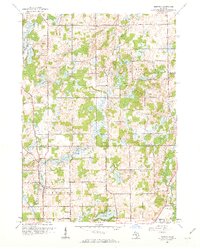
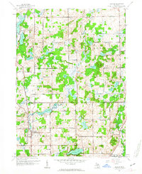
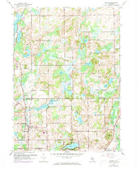
Editions of this 1961 Bedford Map
4 editions found
Other maps of this area

1918 · Battle Creek
USGS Topo · 1:62,500

1918 · Galesburg
USGS Topo · 1:62,500

1943 · Battle Creek
USGS Topo · 1:62,500

1944 · Galesburg
USGS Topo · 1:62,500

1947 · Augusta
USGS Topo · 1:24,000

1947 · Banfield
USGS Topo · 1:24,000

1947 · Bellevue
USGS Topo · 1:24,000

1947 · Bedford
USGS Topo · 1:24,000

1947 · Ceresco
USGS Topo · 1:24,000

1947 · Battle Creek
USGS Topo · 1:24,000