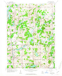
1961 Map of Bedford
USGS Topo · Published 1963About this map
Lacey, Assyria, and Bedford anchor this portrait of the central Michigan landscape at the dawn of the 1960s. The map highlights a complex glacial topography defined by dozens of small kettle lakes and wetlands, including Culver Lake, Cassidy Lake, and Metcalf Lake. The rural character of Johnstown and Pennfield townships is evident in the dense network of country schools that once served these communities, such as Pleasantview Sch, Mamby Sch, and Court Sch. The southern portion of the map shows early signs of suburbanization and recreational development, most notably around St Marys Lake and the Marywood Country Club. Researchers can trace the drainage patterns of Wabascon Creek as it winds through the county line between Barry and Calhoun counties, connecting several larger water bodies like Wabascon Lake and Foster Lake.
Find a feature on this map
44 named features on this map. Tap any name to fly to it.
Don’t see what you’re looking for? This feature index may not catch every label — zoom into the map to look around manually.
Map Details
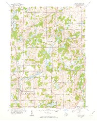
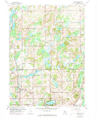
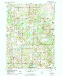
Editions of this 1961 Bedford Map
4 editions found
Other maps of this area

1918 · Battle Creek
USGS Topo · 1:62,500

1918 · Galesburg
USGS Topo · 1:62,500

1943 · Battle Creek
USGS Topo · 1:62,500

1944 · Galesburg
USGS Topo · 1:62,500

1947 · Augusta
USGS Topo · 1:24,000

1947 · Banfield
USGS Topo · 1:24,000

1947 · Bellevue
USGS Topo · 1:24,000

1947 · Bedford
USGS Topo · 1:24,000

1947 · Ceresco
USGS Topo · 1:24,000

1947 · Battle Creek
USGS Topo · 1:24,000