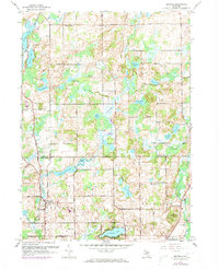
1961 Map of Bedford
USGS Topo · Published 1973About this map
The boundary between Barry and Calhoun Counties divides a landscape defined by its glacial hydrology, where deep-blue water bodies like St Marys Lake and Wabascon Lake are interspersed with smaller kettle lakes such as Culver Lake and Metcalf Lake. The early 1960s rural infrastructure is well-preserved here, showing the distribution of local education through sites like Monroe and Poorman Sch. The settlement of Bedford serves as a southern anchor, while smaller hamlets like Lacey and Assyria maintain their character in the northern sections. A notable 1972 revision highlights the Sky Valley Landing Strip and the residential expansion around Marywood Country Club, signaling the transition from purely agricultural use to recreational and suburban development. The presence of multiple cemeteries, including Ellis Cem and Lacey Cem, alongside landmarks like Bethel Chapel, offers significant grounding for local family history research in this part of Michigan.
Find a feature on this map
46 named features on this map. Tap any name to fly to it.
Don’t see what you’re looking for? This feature index may not catch every label — zoom into the map to look around manually.
Map Details
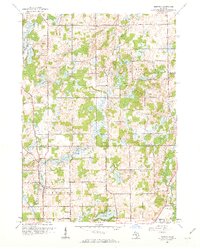
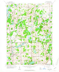
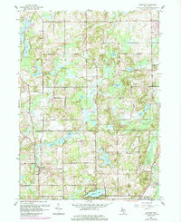
Editions of this 1961 Bedford Map
4 editions found
Other maps of this area

1918 · Battle Creek
USGS Topo · 1:62,500

1918 · Galesburg
USGS Topo · 1:62,500

1943 · Battle Creek
USGS Topo · 1:62,500

1944 · Galesburg
USGS Topo · 1:62,500

1947 · Augusta
USGS Topo · 1:24,000

1947 · Banfield
USGS Topo · 1:24,000

1947 · Bellevue
USGS Topo · 1:24,000

1947 · Bedford
USGS Topo · 1:24,000

1947 · Ceresco
USGS Topo · 1:24,000

1947 · Battle Creek
USGS Topo · 1:24,000