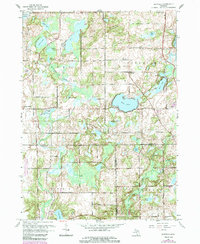
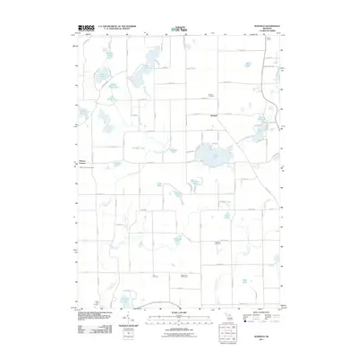
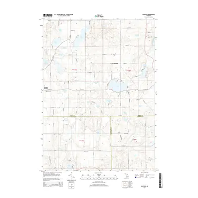
1961 Map of Banfield
USGS Topo · Published 1985About this map
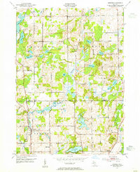
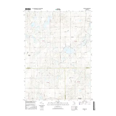
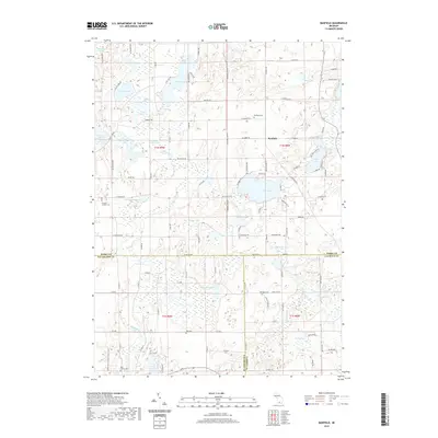
Kellogg Biological Station (Michigan State University) anchors the southwestern corner of this Barry County landscape, representing a significant scientific and educational presence in the rural countryside. The terrain is defined by a complex glacial topography of swamps and water bodies, ranging from the expansive Fine Lake and Stony Lake to smaller basins like Little Gilkey Lake and School Pond. The local community centers on the village of Banfield, where social and civic life is marked by the Banfield Sch and Banfield Cem. Scattered schoolhouses like King Sch and Kirby Sch indicate the historic distribution of rural education districts. These 1961 revisions reveal a network of winding country roads connecting outlying settlements such as Bristol Corners and Hickory Corners, illustrating the mid-century transition of this lake-strewn region from isolated farming plots to a more interconnected rural community.
Find a feature on this map
43 named features on this map. Tap any name to fly to it.
Don’t see what you’re looking for? This feature index may not catch every label — zoom into the map to look around manually.
Map Details
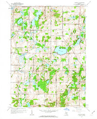
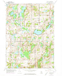
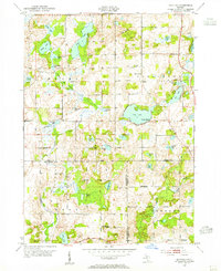
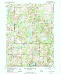
Editions of this 1961 Banfield Map
3 editions found
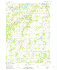
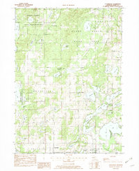
Historical Maps of Banfield Through Time
26 maps found
1947 Banfield
Barry County, MI
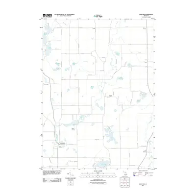
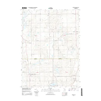
1947 Bedford
Barry County, MI
1961 Banfield
Barry County, MI
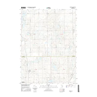
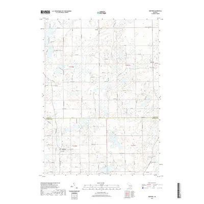
1961 Bedford
Barry County, MI
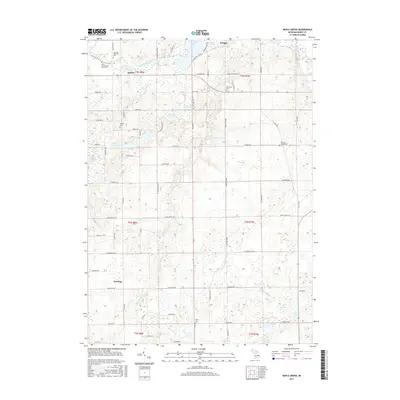
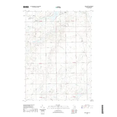
1981 Maple Grove
Barry County, MI
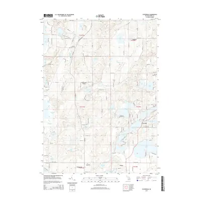
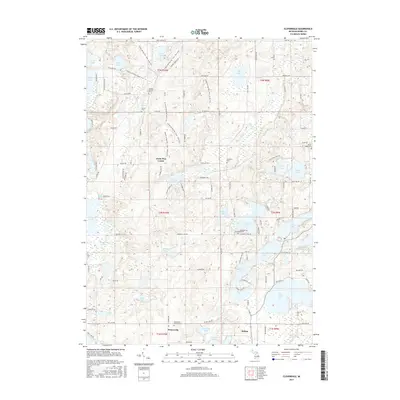
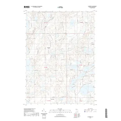
1982 Cloverdale
Barry County, MI
2011 Banfield
Barry County, MI
2011 Bedford
Barry County, MI
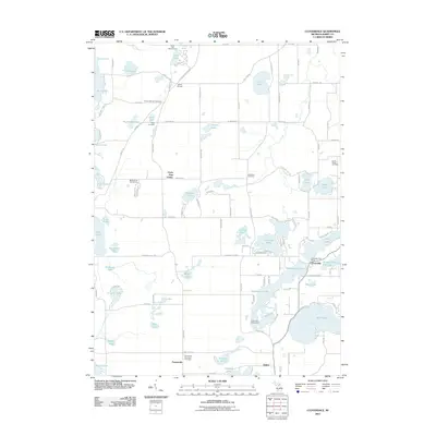
2011 Cloverdale
Barry County, MI
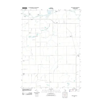
2011 Maple Grove
Barry County, MI
2014 Banfield
Barry County, MI
2014 Bedford
Barry County, MI
2014 Cloverdale
Barry County, MI
2014 Maple Grove
Barry County, MI
2017 Banfield
Barry County, MI
2017 Bedford
Barry County, MI
2017 Cloverdale
Barry County, MI
2017 Maple Grove
Barry County, MI
2019 Banfield
Barry County, MI
2019 Bedford
Barry County, MI
2019 Cloverdale
Barry County, MI
2019 Maple Grove
Barry County, MI
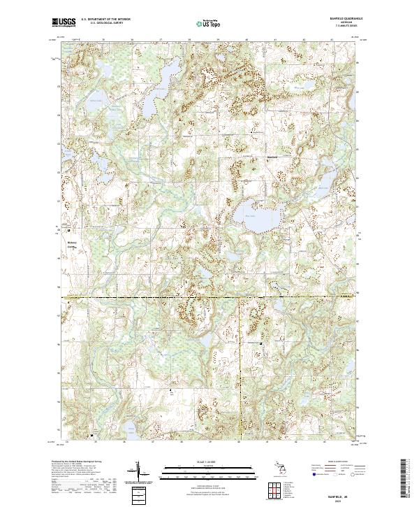
2023 Banfield
Barry County, MI
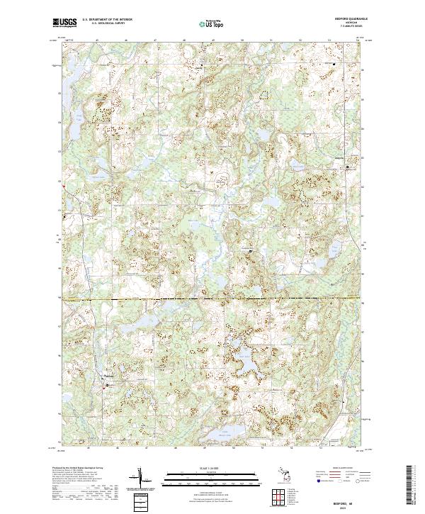
2023 Bedford
Barry County, MI
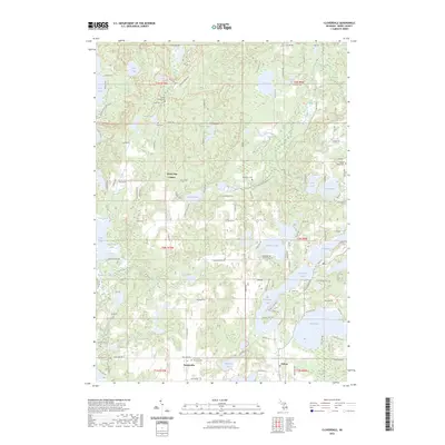
2023 Cloverdale
Barry County, MI
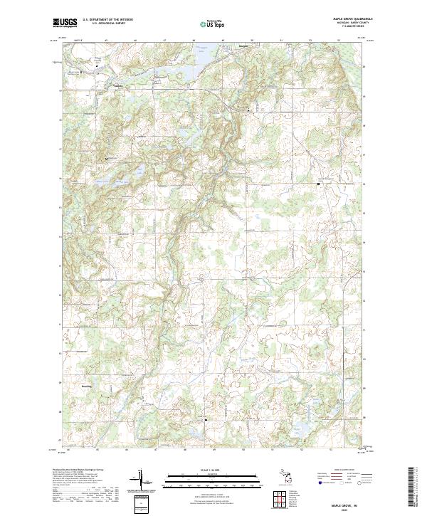
2023 Maple Grove
Barry County, MI
Featured Locations
- Barry Township, MI
- Johnstown Township, MI
- Ross Township, MI
- Bedford Charter Township, MI
- Banfield, Johnstown Township