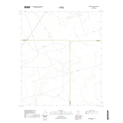
2019 Map of Bedford Ranch
USGS Topo · Published 2019About this map
Bedford Ranch is the primary landmark of this West Texas landscape, where the flat plains of the Permian Basin meet the intersection of three counties. This 2019 survey by the U.S. Geological Survey details a region defined by its wide open spaces and the linear precision of ranch roads and administrative boundaries. The map illustrates where the borders of Ector, Winkler, and Andrews counties converge, creating a tri-county corner that dictates the local geography. The area is interlaced with a network of utilitarian routes like Sheep Pasture Rd, Sw 8201, and Sw 7000, which provide access to the vast ranch lands. The topography is marked by subtle elevation changes and depressions, characteristic of the High Plains terrain where land use is dominated by large-scale ranching operations.
Find a feature on this map
7 named features on this map. Tap any name to fly to it.
Don’t see what you’re looking for? This feature index may not catch every label — zoom into the map to look around manually.
Map Details
Editions of this 2019 Bedford Ranch Map
This is the sole edition of this map. No revisions or reprints were ever made.
Other maps of this area

1954 · Hobbs
USGS Topo · 1:250,000

1954 · Pecos
USGS Topo · 1:250,000

1957 · Pecos
USGS Topo · 1:250,000

1958 · Hobbs
USGS Topo · 1:250,000
1964 · Turnbaugh Corner
USGS Topo · 1:24,000
1968 · Coyote Corner
USGS Topo · 1:24,000
1968 · North Cowden NW
USGS Topo · 1:24,000
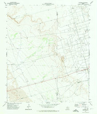
1971 · Notrees
USGS Topo · 1:24,000
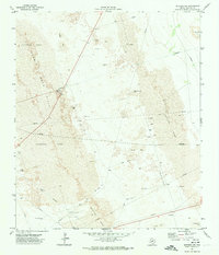
1971 · Notrees NW
USGS Topo · 1:24,000
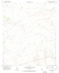
1971 · Figure Seven Ranch
USGS Topo · 1:24,000