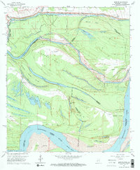
1963 Map of Bedford
USGS Topo · Published 1964About this map
Mississippi River hydraulics and oxbow geology dominate this 1963 survey of the borderlands between Madison Parish, Louisiana, and Warren County, Mississippi. The landscape is a complex of former river channels and heavy engineering, featuring the massive Levee system protecting inland areas from the Roundaway Bayou and the main river corridor. Large landmasses like Diamond Island, Davis Island, and Togo Island illustrate how the shifting river has created a mosaic of jurisdictions, with numerous indefinite boundaries snaking through the bottomlands.
Find a feature on this map
42 named features on this map. Tap any name to fly to it.
Don’t see what you’re looking for? This feature index may not catch every label — zoom into the map to look around manually.
Map Details
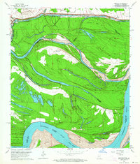
Editions of this 1963 Bedford Map
2 editions found
Other maps of this area

1909 · Mound
USGS Topo · 1:24,000

1910 · Mound
USGS Topo · 1:31,680

1918 · Vicksburg
USGS Topo · 1:62,500

1939 · Talla Bena
USGS Topo · 1:62,500

1939 · Yokena
USGS Topo · 1:62,500

1941 · Vicksburg
USGS Topo · 1:62,500

1955 · Jackson
USGS Topo · 1:250,000

1961 · Jackson
USGS Topo · 1:250,000

1962 · Jackson
USGS Topo · 1:250,000

1962 · Vicksburg West
USGS Topo · 1:24,000