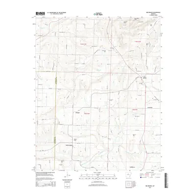
2014 Map of Bee Branch
USGS Topo · Published 2014About this map
The rolling Arkansas hill country where Van Buren and Conway counties meet is defined by a network of creeks and small farming settlements. Bee Branch serves as a local hub, situated near Bee Branch Cem and where the terrain rises toward Hunter Mtn. To the south, the village of Damascus marks the edge of the quadrangle, while smaller communities like Southside, Whipple, and Rabbit Ridge are connected by a web of local roads such as Gravesville Cutoff Rd and New Haven Rd.
Find a feature on this map
94 named features on this map. Tap any name to fly to it.
Don’t see what you’re looking for? This feature index may not catch every label — zoom into the map to look around manually.
Map Details
Editions of this 2014 Bee Branch Map
This is the sole edition of this map. No revisions or reprints were ever made.
Other maps of this area

1892 · Marshall
USGS Topo · 1:125,000

1892 · Mountain View
USGS Topo · 1:125,000

1892 · Morrillton
USGS Topo · 1:125,000

1894 · Mountain View
USGS Topo · 1:125,000

1894 · Morrillton
USGS Topo · 1:125,000

1894 · Marshall
USGS Topo · 1:125,000

1901 · Marshall
USGS Topo · 1:125,000

1956 · Russellville
USGS Topo · 1:250,000

1961 · Bee Branch
USGS Topo · 1:62,500

1961 · Bee Branch
USGS Topo · 1:24,000