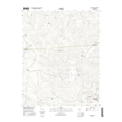
2016 Map of Bee Spring
USGS Topo · Published 2016About this map
Mammoth Cave National Park occupies the southeast corner of this Edmonson County landscape, marking a transition from protected woodland to the rural crossroads of the Pennyroyal Plateau. The community of Bee Spring serves as a central hub for the area, surrounded by a network of small settlements including Sunfish, Sweeden, and the aptly named Prosperity. The terrain is deeply dissected by drainage systems like Bear Cr and Dismal Cr, leading toward the expansive waters of Nolin Lake in the east.
Find a feature on this map
96 named features on this map. Tap any name to fly to it.
Don’t see what you’re looking for? This feature index may not catch every label — zoom into the map to look around manually.
Map Details
Editions of this 2016 Bee Spring Map
This is the sole edition of this map. No revisions or reprints were ever made.
Other maps of this area
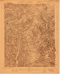
1922 · Leitchfield
USGS Topo · 1:48,000
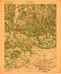
1922 · Brownsville
USGS Topo · 1:62,500
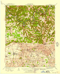
1922 · Mammoth Cave
USGS Topo · 1:62,500
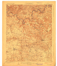
1923 · Mammoth Cave
USGS Topo · 1:62,500
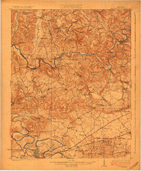
1923 · Brownsville
USGS Topo · 1:62,500
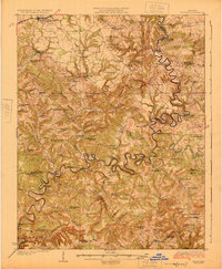
1925 · Cub Run
USGS Topo · 1:62,500
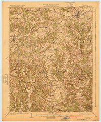
1925 · Leitchfield
USGS Topo · 1:62,500
1953 · Ready
USGS Topo · 1:24,000
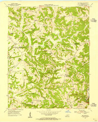
1953 · Bee Spring
USGS Topo · 1:24,000

1954 · Evansville
USGS Topo · 1:250,000