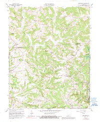
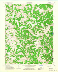
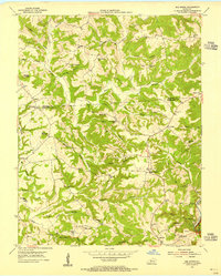
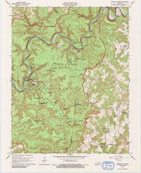
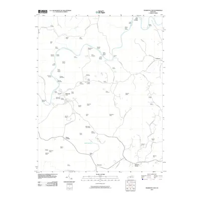
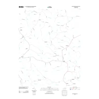
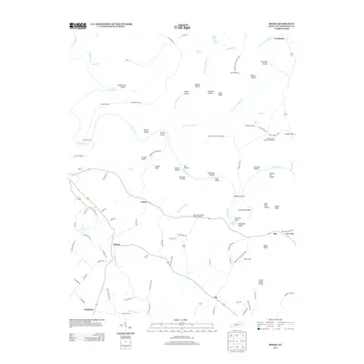
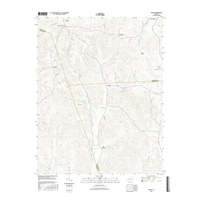
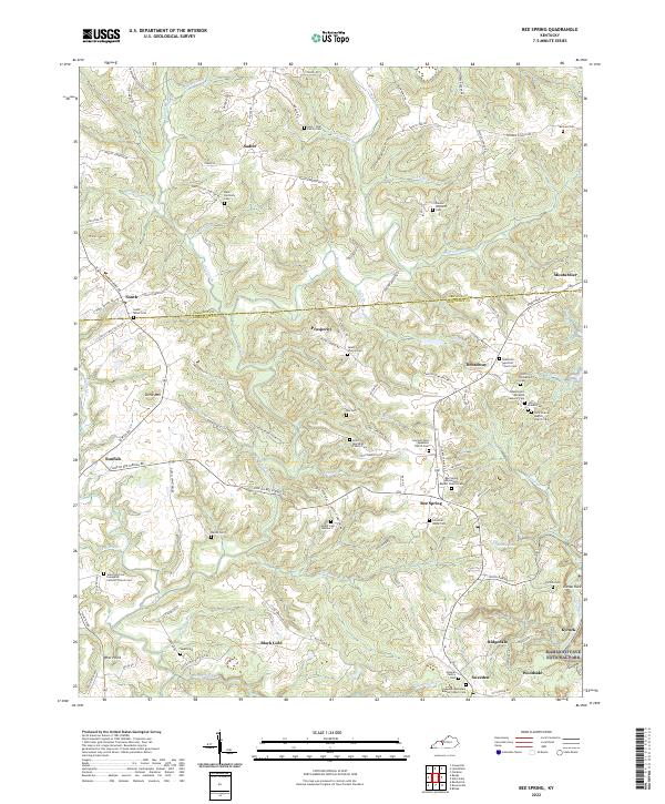
1966 Map of Bee Spring
USGS Topo · Published 1991About this map
Bee Spring and Sadler anchor this mid-century survey of the hilly divide between Grayson and Edmonson Counties. The landscape is defined by the winding course of Bear Creek and the recently established boundary of Nolin Reservoir to the east, where areas are marked for controlled inundation. Small rural communities like Sweeden, Broadway, and Prosperity are linked by a network of backcountry roads, punctuated by local landmarks like Dismal Rock and Crowder Mountain. Local education and faith are represented by numerous sites including St Johns Sch and New Salem Ch, while industry is evident through scattered Mines and a Quarry. The presence of a Drive-in Theater near Shady Lake provides a glimpse into the social life of the 1950s and 60s in this part of Kentucky.
Find a feature on this map
53 named features on this map. Tap any name to fly to it.
Don’t see what you’re looking for? This feature index may not catch every label — zoom into the map to look around manually.
Map Details
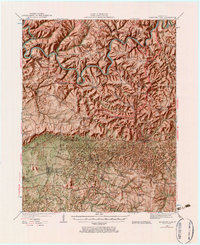
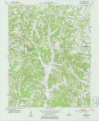
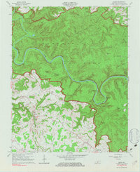
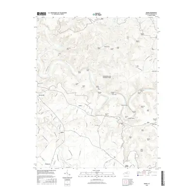
Editions of this 1966 Bee Spring Map
2 editions found
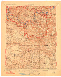
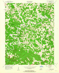
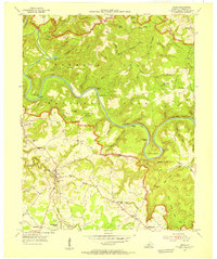
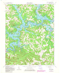
Historical Maps of Woodside Through Time
35 maps found
1922 Mammoth Cave
Edmonson County, KY
1923 Mammoth Cave
Edmonson County, KY
1953 Bee Spring
Edmonson County, KY
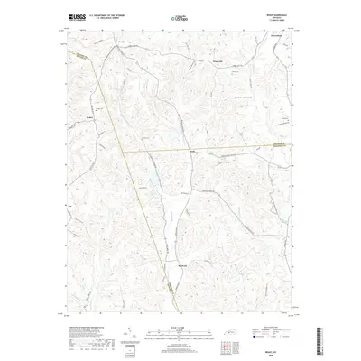
1953 Ready
Edmonson County, KY
1954 Dickeys Mills
Edmonson County, KY
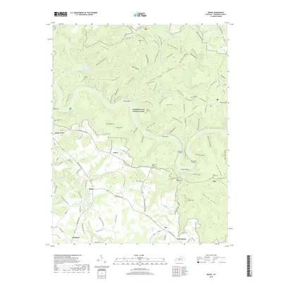
1954 Rhoda
Edmonson County, KY
1965 Mammoth Cave
Edmonson County, KY
1965 Rhoda
Edmonson County, KY
1966 Bee Spring
Edmonson County, KY
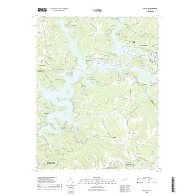
1966 Nolin Lake
Edmonson County, KY
2010 Bee Spring
Edmonson County, KY
2010 Mammoth Cave
Edmonson County, KY
2010 Nolin Lake
Edmonson County, KY
2010 Ready
Edmonson County, KY
2010 Rhoda
Edmonson County, KY
2013 Bee Spring
Edmonson County, KY
2013 Mammoth Cave
Edmonson County, KY
2013 Nolin Lake
Edmonson County, KY
2013 Ready
Edmonson County, KY
2013 Rhoda
Edmonson County, KY
2016 Bee Spring
Edmonson County, KY
2016 Mammoth Cave
Edmonson County, KY
2016 Nolin Lake
Edmonson County, KY
2016 Ready
Edmonson County, KY
2016 Rhoda
Edmonson County, KY
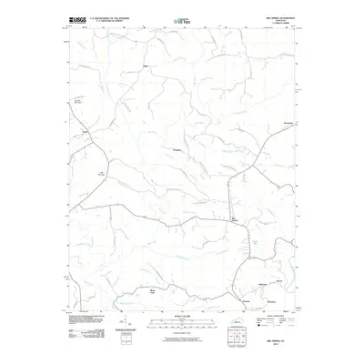
2019 Bee Spring
Edmonson County, KY
2019 Mammoth Cave
Edmonson County, KY
2019 Nolin Lake
Edmonson County, KY
2019 Ready
Edmonson County, KY
2019 Rhoda
Edmonson County, KY
2022 Bee Spring
Edmonson County, KY
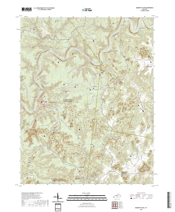
2022 Mammoth Cave
Edmonson County, KY
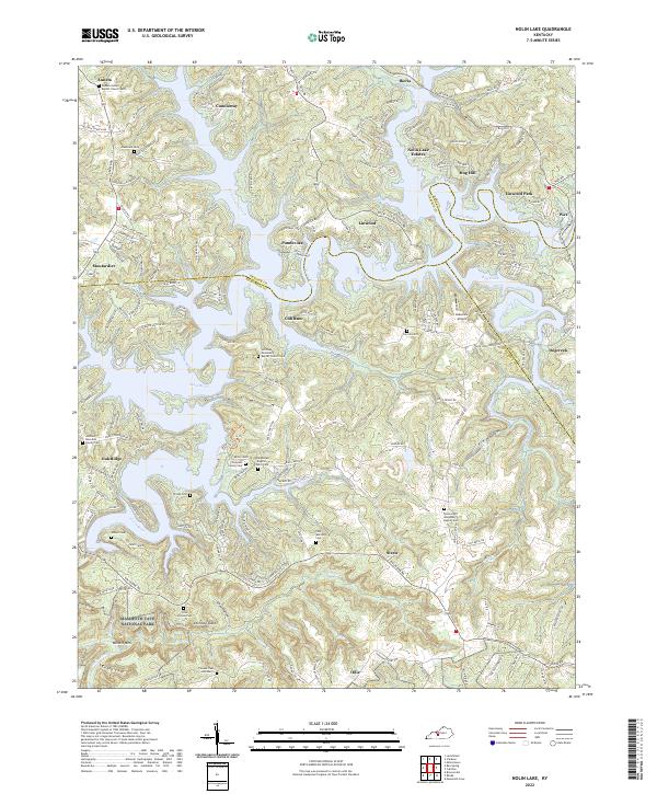
2022 Nolin Lake
Edmonson County, KY
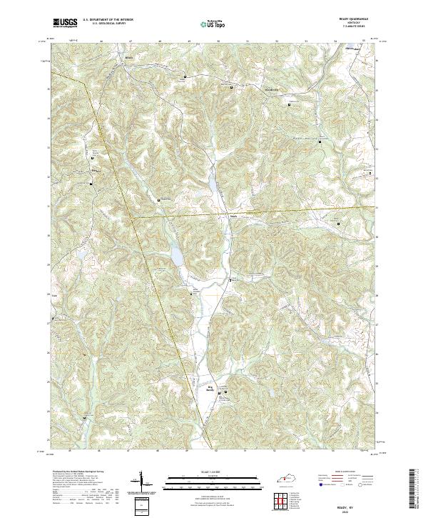
2022 Ready
Edmonson County, KY
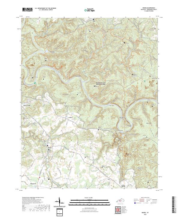
2022 Rhoda
Edmonson County, KY