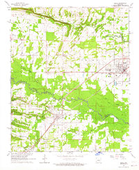
1963 Map of Beebe
USGS Topo · Published 1964About this map
Beebe stands as a central hub of this 1963 survey, where the Missouri Pacific railroad corridor dictates the alignment of local growth and agriculture. The landscape transitions from the higher elevations of Cadron Ridge in the northwest down toward the meandering course of Cypress Bayou. Significant local landmarks include the Arkansas State Jr College and several rural centers such as Stony Point, Ward, and Barrentine Corner.
Find a feature on this map
50 named features on this map. Tap any name to fly to it.
Don’t see what you’re looking for? This feature index may not catch every label — zoom into the map to look around manually.
Map Details
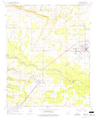
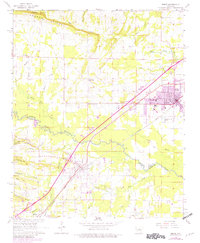
Editions of this 1963 Beebe Map
3 editions found
Other maps of this area

1891 · Little Rock
USGS Topo · 1:125,000

1893 · Little Rock
USGS Topo · 1:125,000

1940 · Lonoke
USGS Topo · 1:62,500

1941 · Cabot
USGS Topo · 1:31,680

1948 · Helena
USGS Topo · 1:250,000

1949 · Lonoke
USGS Topo · 1:62,500

1950 · Helena
USGS Topo · 1:250,000

1950 · Lonoke
USGS Topo · 1:62,500

1953 · Memphis
USGS Topo · 1:250,000
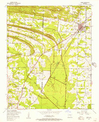
1954 · Cabot
USGS Topo · 1:24,000