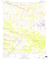
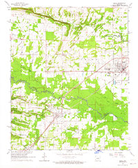
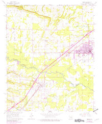
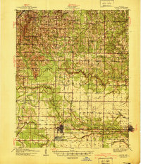
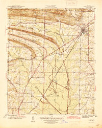
1963 Map of Beebe
USGS Topo · Published 1977About this map
The Missouri Pacific railroad corridor anchors this mid-century portrait of Central Arkansas, linking the growing communities of Beebe and Ward. The landscape is a mix of agricultural bottomlands and rising ridges, with the sprawling Cypress Bayou winding through the southern portion of the quadrangle. Educational and social life is centered at the Arkansas State Jr College and various rural landmarks such as Union Valley Ch and Apple Hill Ch. Smaller named locales like Stony Point, Barrentine Corner, and Austin appear alongside family-named terrain features such as Apple Hill Ridge and Sims Hill. The map also captures the local extraction industry through several Quarries and a Gravel Pit located near the rail line, providing a detailed record of the area's infrastructure and land use just as regional development began to accelerate.
Find a feature on this map
49 named features on this map. Tap any name to fly to it.
Don’t see what you’re looking for? This feature index may not catch every label — zoom into the map to look around manually.
Map Details
Editions of this 1963 Beebe Map
3 editions found
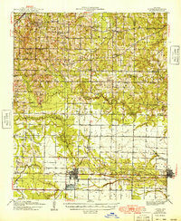
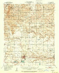
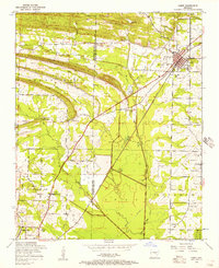
Other maps of this area

1891 · Little Rock
USGS Topo · 1:125,000

1893 · Little Rock
USGS Topo · 1:125,000
1940 · Lonoke
USGS Topo · 1:62,500
1941 · Cabot
USGS Topo · 1:31,680

1948 · Helena
USGS Topo · 1:250,000
1949 · Lonoke
USGS Topo · 1:62,500

1950 · Helena
USGS Topo · 1:250,000
1950 · Lonoke
USGS Topo · 1:62,500

1953 · Memphis
USGS Topo · 1:250,000
1954 · Cabot
USGS Topo · 1:24,000