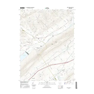
2016 Map of Beech Creek
USGS Topo · Published 2016About this map
Bald Eagle Mountain dominates this portion of the Pennsylvania ridge-and-valley province, creating a formidable barrier between the Little Nittany Valley and the waters of Bald Eagle Creek. The settlement of Beech Creek serves as a focal point near the gap where the namesake stream joins the larger creek, while to the southwest, the Foster Joseph Sayers Lake reservoir reshapes the valley floor. The map documents a high density of named springs, including Washington Furnace Spring, Lamar Spring, and Crystal Spring, reflecting the region's complex karst hydrography and early industrial history.
Find a feature on this map
109 named features on this map. Tap any name to fly to it.
Don’t see what you’re looking for? This feature index may not catch every label — zoom into the map to look around manually.
Map Details
Editions of this 2016 Beech Creek Map
This is the sole edition of this map. No revisions or reprints were ever made.
Other maps of this area

1921 · Howard
USGS Topo · 1:48,000

1921 · Lock Haven
USGS Topo · 1:62,500

1923 · Howard
USGS Topo · 1:62,500

1923 · Lock Haven
USGS Topo · 1:62,500

1924 · Centre Hall
USGS Topo · 1:62,500

1929 · Centre Hall
USGS Topo · 1:62,500

1937 · Millheim
USGS Topo · 1:48,000

1941 · Millheim
USGS Topo · 1:62,500

1943 · Lewistown
USGS Topo · 1:125,000

1944 · Lock Haven
USGS Topo · 1:62,500
Featured Places
- Lamar, Porter Township
- Beech Creek, PA
- Abdera, Porter Township
- East Beech, Beech Creek Township
- Blanchard, PA