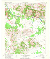
1969 Map of Beech Grove
USGS Topo · Published 1971About this map
Green River meanders across the northern portion of this 1969 survey, where historic river commerce is marked by Steamboat Landing and Roland Landing. The landscape reflects a deeply agricultural and rural character at the intersection of McLean, Webster, and Hopkins counties. Small communities like Beech Grove and Onton serve as local hubs, connected by a network of named roads such as Sassasfras Grove Road and Nance Road. The topographic data reveals the prominence of the Pitman hills, which contrast with the low-lying drainage basins of Deer Creek and its tributaries. For researchers, the presence of numerous rural burial sites and places of worship, including Mt Zion Cem, Samuels Cem, and the Beech Grove Chapel, provides a clear view of the social and genealogical geography of the late 1960s.
Find a feature on this map
44 named features on this map. Tap any name to fly to it.
Don’t see what you’re looking for? This feature index may not catch every label — zoom into the map to look around manually.
Map Details
Editions of this 1969 Beech Grove Map
2 editions found
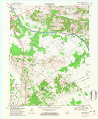
Other maps of this area

1906 · Sebree
USGS Topo · 1:62,500

1907 · Earlington
USGS Topo · 1:48,000

1908 · Calhoun
USGS Topo · 1:62,500

1909 · Earlington
USGS Topo · 1:62,500

1909 · Madisonville
USGS Topo · 1:62,500

1949 · Sebree
USGS Topo · 1:24,000

1949 · Robards
USGS Topo · 1:24,000

1951 · Sebree
USGS Topo · 1:24,000

1951 · Robards
USGS Topo · 1:24,000

1952 · Sacramento
USGS Topo · 1:24,000