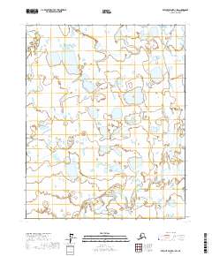
2017 Map of Beechey Point A-1 SW
USGS Topo · Published 2017About this map
The Kadleroshilik River winds through this expanse of the North Slope, illustrating the braided hydrology characteristic of the Arctic coastal plain. This landscape is defined by its complex network of interconnected wetlands and small water bodies that saturate the tundra. The Shaviovik River and the Kavik River parallel one another as they flow northward toward the Beaufort Sea, their shifting channels documented by the U.S. Geological Survey in this 2017 study. The absence of roads or permanent structures reflects the region's character as an undeveloped wilderness primarily managed for its natural and subsurface resources. For researchers, the map provides a precise baseline of the shoreline and river morphology before seasonal changes or climatic shifts alter these delicate coastal drainage patterns.
Find a feature on this map
7 named features on this map. Tap any name to fly to it.
Don’t see what you’re looking for? This feature index may not catch every label — zoom into the map to look around manually.
Map Details
Editions of this 2017 Beechey Point A-1 SW Map
This is the sole edition of this map. No revisions or reprints were ever made.
Other maps of this area

1951 · Beechey Point
USGS Topo · 1:250,000

1951 · Sagavanirktok D-5
USGS Topo · 1:250,000

1955 · Beechey Point
USGS Topo · 1:250,000

1955 · Beechey Point A-1
USGS Topo · 1:63,360

1955 · Beechey Point A-2
USGS Topo · 1:63,360
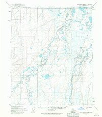
1955 · Sagavanirktok D-2
USGS Topo · 1:63,360
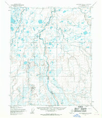
1955 · Sagavanirktok D-1
USGS Topo · 1:63,360

1956 · Sagavanirktok
USGS Topo · 1:250,000

1958 · Sagavanirktok
USGS Topo · 1:250,000

1960 · Beechey Point
USGS Topo · 1:250,000