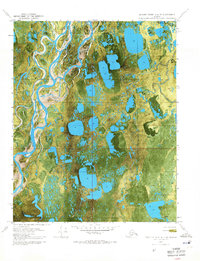
1970 Map of Beechey Point A-4 NE
USGS Topo · Published 1971About this map
The Kuparuk River winds through this Arctic landscape, defining a complex network of braided channels and thaw lakes on Alaska's North Slope. This 1970 orthophotomap provides a literal photographic view of the tundra surface just as industrial interest in the region was intensifying. Evidence of early resource exploration is visible at the Placid Et Al State No. 1 site in the northeast corner, connected to the surrounding terrain by a precarious Winter Trail. The surface is dominated by a dense concentration of water bodies, including the Putuligayuk River and specific landmarks like Hurl and Fresh. The map's photographic base captures the delicate, water-logged geometry of the permafrost, where land and water are inextricably linked.
Find a feature on this map
9 named features on this map. Tap any name to fly to it.
Don’t see what you’re looking for? This feature index may not catch every label — zoom into the map to look around manually.
Map Details
Editions of this 1970 Beechey Point A-4 NE Map
2 editions found
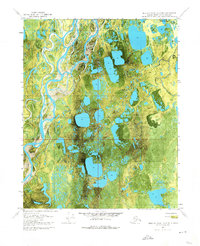
Other maps of this area

1951 · Beechey Point
USGS Topo · 1:250,000

1955 · Beechey Point
USGS Topo · 1:250,000

1955 · Beechey Point B-4
USGS Topo · 1:63,360

1955 · Beechey Point A-3
USGS Topo · 1:63,360

1955 · Beechey Point A-4
USGS Topo · 1:63,360

1955 · Beechey Point B-3
USGS Topo · 1:63,360

1960 · Beechey Point
USGS Topo · 1:250,000

1962 · Beechey Point B-4
USGS Topo · 1:50,000

1964 · Beechey Point
USGS Topo · 1:250,000
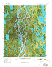
1970 · Beechey Point B-4 SE
USGS Topo · 1:24,000