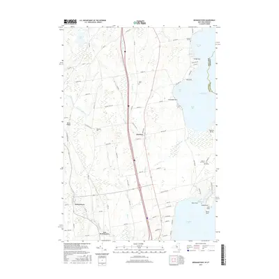
2016 Map of Beekmantown
USGS Topo · Published 2016About this map
Lake Champlain dominates the eastern horizon of this Clinton County landscape, where the jagged shoreline forms Trombley Bay, Monty Bay, and Treadwell Bay. The interior is defined by a network of agricultural roads and several watercourses, including the Little Chazy River and Riley Brook, which drain toward the lake. This 2016 survey documents the modern layout of several long-standing settlements such as Beekmantown, West Chazy, and Ingraham. Genealogists will find several burial grounds noted, including Trombley Bay Cem and Doane Cem. The map also captures the state boundary between New York and Vermont and the county line separating Clinton and Grand Isle counties, running through the open waters of the lake. Areas like L Habitat and Point Au Roche reflect the balance of residential development and preserved natural spaces along the waterfront.
Find a feature on this map
84 named features on this map. Tap any name to fly to it.
Don’t see what you’re looking for? This feature index may not catch every label — zoom into the map to look around manually.
Map Details
Editions of this 2016 Beekmantown Map
This is the sole edition of this map. No revisions or reprints were ever made.
Other maps of this area

1894 · Plattsburg
USGS Topo · 1:62,500

1895 · Mooers
USGS Topo · 1:62,500

1895 · Rouse Point
USGS Topo · 1:62,500

1899 · Mooers
USGS Topo · 1:62,500

1906 · Plattsburg
USGS Topo · 1:62,500

1907 · Rouse Point
USGS Topo · 1:62,500

1913 · Dannemora
USGS Topo · 1:62,500

1939 · Rouses Point
USGS Topo · 1:62,500

1939 · Plattsburg
USGS Topo · 1:62,500

1941 · Plattsburg
USGS Topo · 1:62,500