2022 Map of Beetown
USGS Topo · Published 2022About this map
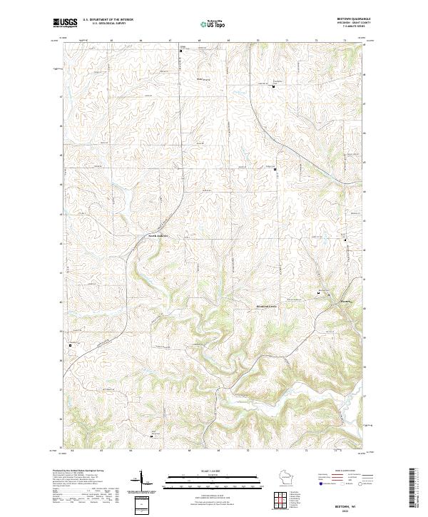
Blake Prairie characterizes the upland landscape of this corner of Grant County, where the transition from level agricultural plateaus to deeply etched stream valleys defines the local geography. The settlement at Beetown serves as a focal point in the southeast, situated near the confluence of Beetown Br and the Grant River. This area is particularly rich in genealogical landmarks, with numerous small burial grounds such as Saint Marys Cem, Ramsey Cem, and Providence Cem scattered throughout the rural townships.
Find a feature on this map
58 named features on this map. Tap any name to fly to it.
Don’t see what you’re looking for? This feature index may not catch every label — zoom into the map to look around manually.
Map Details
Editions of this 2022 Beetown Map
This is the sole edition of this map. No revisions or reprints were ever made.
Historical Maps of Little Grant Through Time
17 maps found
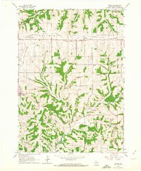
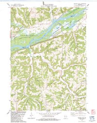
1962 Beetown
Grant County, WI
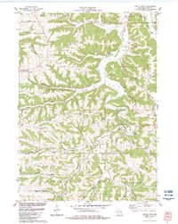
1962 Ellenboro
Grant County, WI
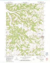
1962 Hurricane
Grant County, WI
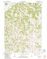
1962 Stitzer
Grant County, WI
1983 Castle Rock
Grant County, WI
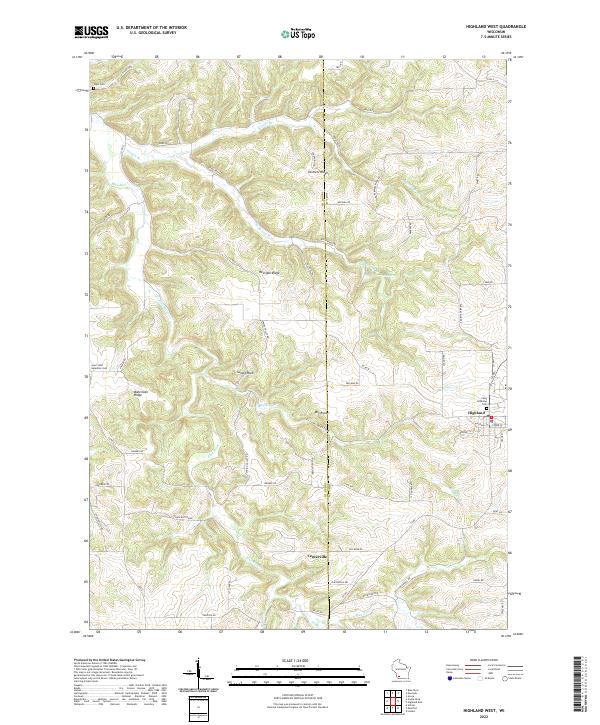
1983 Highland West
Grant County, WI
1983 Long Hollow
Grant County, WI
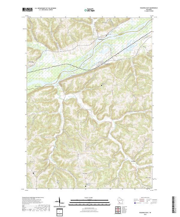
1983 Wauzeka East
Grant County, WI
2022 Beetown
Grant County, WI
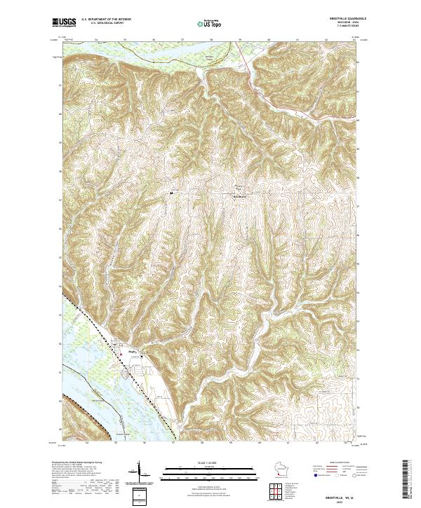
2022 Brodtville
Grant County, WI
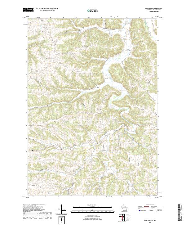
2022 Castle Rock
Grant County, WI
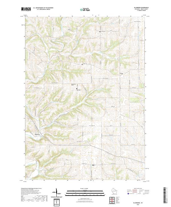
2022 Ellenboro
Grant County, WI
2022 Highland West
Grant County, WI
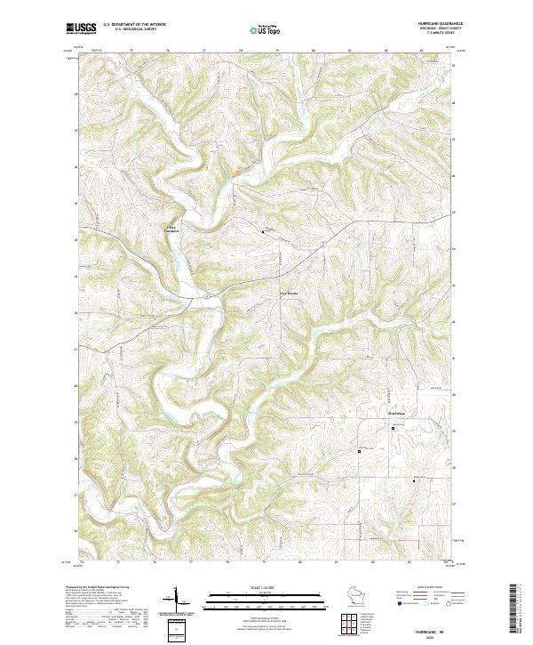
2022 Hurricane
Grant County, WI
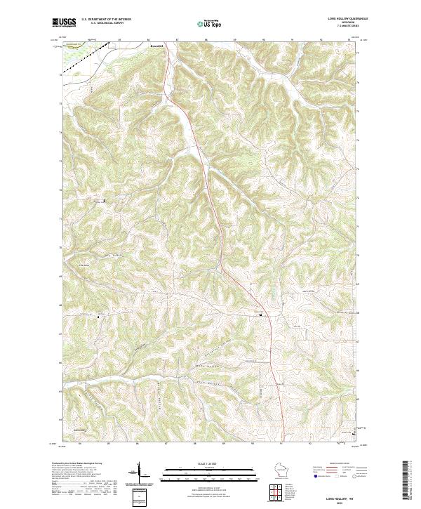
2022 Long Hollow
Grant County, WI
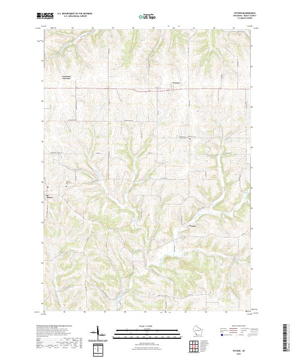
2022 Stitzer
Grant County, WI
2022 Wauzeka East
Grant County, WI