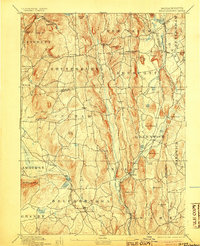
1893 Map of Belchertown
USGS Topo · Published 1905About this map
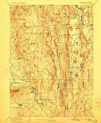
Swift River valleys define this landscape long before the 20th-century inundations altered the region's geography. The map reveals a dense network of hill towns and valley settlements, including Greenwich, Enfield, Prescott, and North Dana, which were then active centers of agriculture and local industry. These communities are linked by the Boston & Albany R. R. Athol Branch, which follows the river's winding course through the heart of the valley.
Find a feature on this map
95 named features on this map. Tap any name to fly to it.
Don’t see what you’re looking for? This feature index may not catch every label — zoom into the map to look around manually.
Map Details
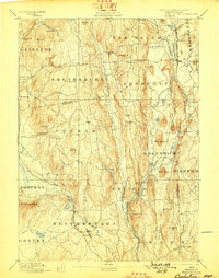
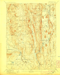
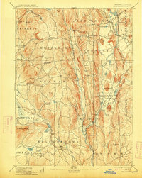
Editions of this 1893 Belchertown Map
8 editions found

Other maps of this area

1885 · Northampton
USGS Topo · 1:62,500

1886 · Springfield
USGS Topo · 1:62,500

1886 · Northampton
USGS Topo · 1:62,500

1887 · Brookfield
USGS Topo · 1:62,500

1887 · Warwick
USGS Topo · 1:62,500

1887 · Palmer
USGS Topo · 1:62,500

1887 · Belchertown
USGS Topo · 1:62,500

1887 · Winchendon
USGS Topo · 1:62,500

1887 · Barre
USGS Topo · 1:62,500

1889 · Springfield
USGS Topo · 1:62,500