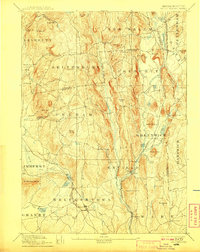
1893 Map of Belchertown
USGS Topo · Published 1908About this map
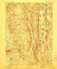
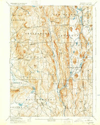
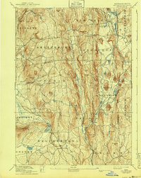
The Swift River valley is documented here decades before the landscape was fundamentally altered by hydraulic engineering. This late 19th-century survey preserves the locations of numerous interconnected villages, including Enfield, Greenwich, and North Dana, which served as local centers of commerce and rail transit. The Boston & Albany R R Athol Branch winds through the river valley, connecting rural outposts like Smiths and Greenwich Village to the broader regional economy.
Find a feature on this map
92 named features on this map. Tap any name to fly to it.
Don’t see what you’re looking for? This feature index may not catch every label — zoom into the map to look around manually.
Map Details
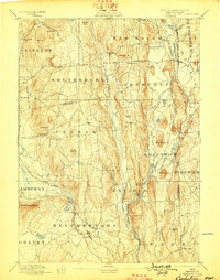
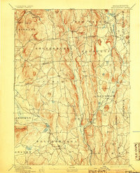
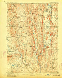
Editions of this 1893 Belchertown Map
8 editions found

Other maps of this area

1885 · Northampton
USGS Topo · 1:62,500

1886 · Springfield
USGS Topo · 1:62,500

1886 · Northampton
USGS Topo · 1:62,500

1887 · Brookfield
USGS Topo · 1:62,500

1887 · Warwick
USGS Topo · 1:62,500

1887 · Palmer
USGS Topo · 1:62,500

1887 · Belchertown
USGS Topo · 1:62,500

1887 · Winchendon
USGS Topo · 1:62,500

1887 · Barre
USGS Topo · 1:62,500

1889 · Springfield
USGS Topo · 1:62,500