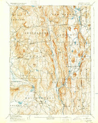
1893 Map of Belchertown
USGS Topo · Published 1932About this map
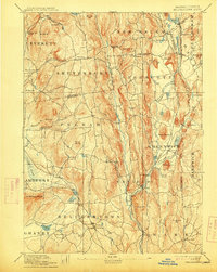
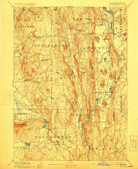
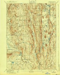
The Swift River and its multiple branches—including the East Branch, Middle Branch, and West Branch—form the geographic spine of this Massachusetts landscape as it appeared in the late nineteenth century. The region is characterized by a series of valley settlements that would later be fundamentally altered by water management projects. Key railroad corridors, including the Boston & Albany RR and the New London Northern RR, connect major hubs like Enfield and Belchertown to the broader industrial economy. Many of the small towns and hamlets shown here, such as Greenwich Village, North Dana, Smiths, and Prescott, are documented at their peak of development. Notable landmarks like Quabin Hill and Mount Lizzie rise above the river valleys, while the Lawrence Swamp and Fort River define the western portion of the area near Amherst.
Find a feature on this map
95 named features on this map. Tap any name to fly to it.
Don’t see what you’re looking for? This feature index may not catch every label — zoom into the map to look around manually.
Map Details
Editions of this 1893 Belchertown Map
8 editions found

Other maps of this area

1885 · Northampton
USGS Topo · 1:62,500

1886 · Springfield
USGS Topo · 1:62,500

1886 · Northampton
USGS Topo · 1:62,500

1887 · Brookfield
USGS Topo · 1:62,500

1887 · Warwick
USGS Topo · 1:62,500

1887 · Palmer
USGS Topo · 1:62,500

1887 · Belchertown
USGS Topo · 1:62,500

1887 · Winchendon
USGS Topo · 1:62,500

1887 · Barre
USGS Topo · 1:62,500

1889 · Springfield
USGS Topo · 1:62,500