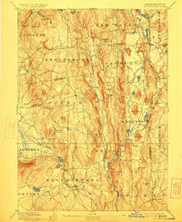
1893 Map of Belchertown
USGS Topo · Published 1923About this map
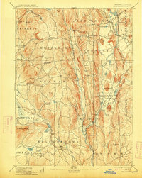
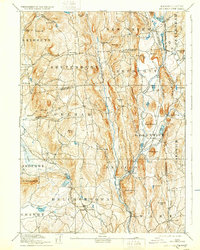
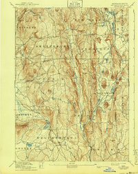
The Swift River valley dominates this landscape, showing the interconnected villages and rural infrastructure of the Swift River valley several decades before the creation of the Quabbin Reservoir. Central to the region are the settlements of Enfield, Prescott, Greenwich, and North Dana, which serve as local hubs along the meandering branches of the Swift River. The topographical survey by Laurence Thompson and W. D. Johnson documents a complex network of roads and rail lines, including the Boston & Albany R. R. and the Central Vermont R. R., which facilitated local industry and trade. Notable landmarks like Quabin Hill and Mount Lizzie rise above the valley floor, while smaller hamlets like Millington and Smiths dot the landscape. This map preserves the locations of homes, mills, and farms that defined life in this portion of Hampshire County during the late nineteenth century.
Find a feature on this map
89 named features on this map. Tap any name to fly to it.
Don’t see what you’re looking for? This feature index may not catch every label — zoom into the map to look around manually.
Map Details
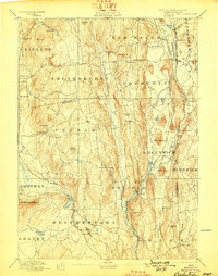
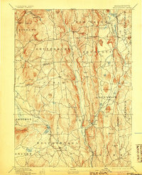
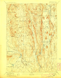
Editions of this 1893 Belchertown Map
8 editions found

Other maps of this area

1885 · Northampton
USGS Topo · 1:62,500

1886 · Springfield
USGS Topo · 1:62,500

1886 · Northampton
USGS Topo · 1:62,500

1887 · Brookfield
USGS Topo · 1:62,500

1887 · Warwick
USGS Topo · 1:62,500

1887 · Palmer
USGS Topo · 1:62,500

1887 · Belchertown
USGS Topo · 1:62,500

1887 · Winchendon
USGS Topo · 1:62,500

1887 · Barre
USGS Topo · 1:62,500

1889 · Springfield
USGS Topo · 1:62,500