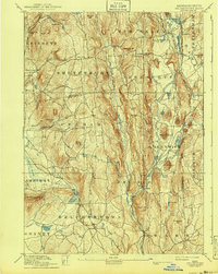
1893 Map of Belchertown
USGS Topo · Published 1940About this map
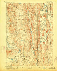
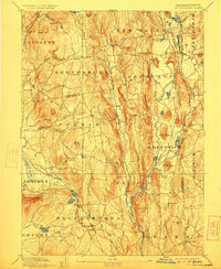
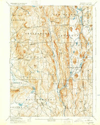
The Swift River valley is documented here as it appeared in the late 19th century, centering on a network of towns and river-fed industry before the landscape was fundamentally altered. This survey captures the intricate topography of Hampshire Co and Worcester Co, where the Boston & Albany R. R. follows the river through Enfield and Greenwich. The map reveals a dense arrangement of rural post offices and centers such as Greenwich Village, Smiths, and Millington that served the local agricultural and milling economy.
Find a feature on this map
92 named features on this map. Tap any name to fly to it.
Don’t see what you’re looking for? This feature index may not catch every label — zoom into the map to look around manually.
Map Details
Editions of this 1893 Belchertown Map
8 editions found

Other maps of this area

1885 · Northampton
USGS Topo · 1:62,500

1886 · Springfield
USGS Topo · 1:62,500

1886 · Northampton
USGS Topo · 1:62,500

1887 · Brookfield
USGS Topo · 1:62,500

1887 · Warwick
USGS Topo · 1:62,500

1887 · Palmer
USGS Topo · 1:62,500

1887 · Belchertown
USGS Topo · 1:62,500

1887 · Winchendon
USGS Topo · 1:62,500

1887 · Barre
USGS Topo · 1:62,500

1889 · Springfield
USGS Topo · 1:62,500