
1893 Map of Belchertown
USGS Topo · Published 1893About this map
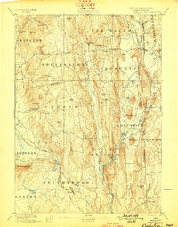
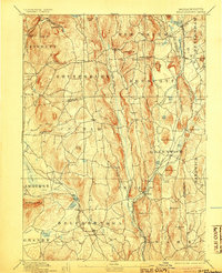
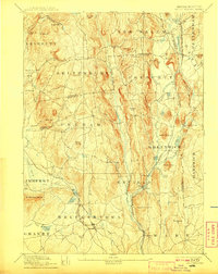
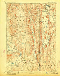
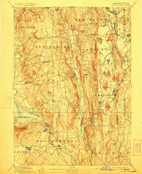
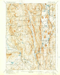
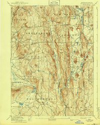
The Swift River and its multiple branches define the central corridor of this Massachusetts landscape as it appeared in the late 19th century. This area is of significant historical interest, as it documents the towns and settlements that would later be impacted by major hydrological changes. The map meticulously records the rail connections of the era, specifically the Boston & Albany R R following the river valley through Enfield and the New London Northern R R cutting across the southwestern corner near Belchertown. Prominent elevations like Quabin Hill and Prescott Hill rise between the river forks, overlooking established villages such as Greenwich and North Dana. The settlement pattern is dense with named locales like Smith Village and Millington, providing a clear view of the rural social geography before the land was reorganized.
Find a feature on this map
93 named features on this map. Tap any name to fly to it.
Don’t see what you’re looking for? This feature index may not catch every label — zoom into the map to look around manually.
Map Details
Editions of this 1893 Belchertown Map
8 editions found
Other maps of this area

1885 · Northampton
USGS Topo · 1:62,500

1886 · Springfield
USGS Topo · 1:62,500

1886 · Northampton
USGS Topo · 1:62,500

1887 · Brookfield
USGS Topo · 1:62,500

1887 · Warwick
USGS Topo · 1:62,500

1887 · Palmer
USGS Topo · 1:62,500

1887 · Belchertown
USGS Topo · 1:62,500

1887 · Winchendon
USGS Topo · 1:62,500

1887 · Barre
USGS Topo · 1:62,500

1889 · Springfield
USGS Topo · 1:62,500