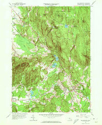
1964 Map of Belchertown
USGS Topo · Published 1973About this map
The town of Belchertown and its surrounding Hampshire County hills are captured here in the mid-1960s, a landscape defined by significant public and institutional landholdings. Extensive tracts of the Cadwell Memorial Forest, State Reservation, and the western edge of the Quabbin Reservation dominate the northern and eastern sections. Notable institutional landmarks of the era include the large complex of the Belchertown State School and St Hyacinths Seminary and College situated near Forge Pond.
Find a feature on this map
65 named features on this map. Tap any name to fly to it.
Don’t see what you’re looking for? This feature index may not catch every label — zoom into the map to look around manually.
Map Details
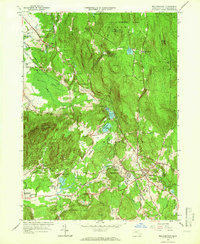
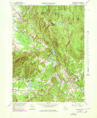
Editions of this 1964 Belchertown Map
3 editions found
Other maps of this area

1885 · Northampton
USGS Topo · 1:62,500

1886 · Springfield
USGS Topo · 1:62,500

1886 · Northampton
USGS Topo · 1:62,500

1887 · Palmer
USGS Topo · 1:62,500

1887 · Belchertown
USGS Topo · 1:62,500

1889 · Springfield
USGS Topo · 1:62,500

1889 · Palmer
USGS Topo · 1:62,500

1890 · Belchertown
USGS Topo · 1:62,500

1891 · Northampton
USGS Topo · 1:62,500

1893 · Northampton
USGS Topo · 1:62,500