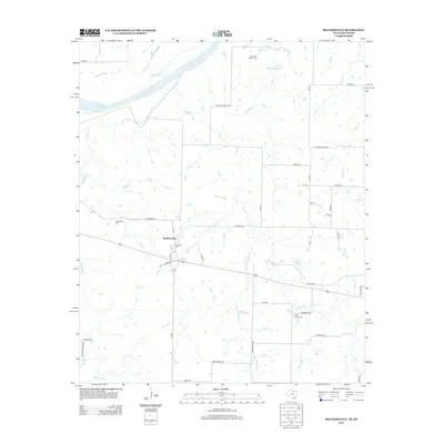
2013 Map of Belcherville
USGS Topo · Published 2013About this map
Belcherville sits along a network of county roads and the state highway in northern Montague County, just south of the winding Red River. This area along the Texas-Oklahoma border is defined by numerous drainage systems like Salt Cr, Fleetwood Cr, and Belknap Cr that feed into the river basin. The map reveals the historical placement of essential community landmarks, including the Belcherville Cem and Long Branch Cem. To the north, Red River Station Rd leads toward the Red River Station Cemetery, a name that recalls the region's ranching history and early river crossings. The terrain is marked by seasonal waterways like Barrel Springs Cr and the more permanent Club Lake, illustrating a rural landscape where agricultural life follows the natural contours of the river's tributaries.
Find a feature on this map
45 named features on this map. Tap any name to fly to it.
Don’t see what you’re looking for? This feature index may not catch every label — zoom into the map to look around manually.
Map Details
Editions of this 2013 Belcherville Map
This is the sole edition of this map. No revisions or reprints were ever made.
Other maps of this area

1905 · Montague
USGS Topo · 1:125,000

1954 · Sherman
USGS Topo · 1:250,000

1958 · Sherman
USGS Topo · 1:250,000

1960 · Buzzard Roost Knob
USGS Topo · 1:24,000

1961 · Stoneburg
USGS Topo · 1:24,000

1961 · Montague
USGS Topo · 1:24,000
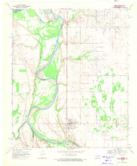
1968 · Terral
USGS Topo · 1:24,000

1968 · Nocona
USGS Topo · 1:24,000

1968 · Fleetwood
USGS Topo · 1:24,000
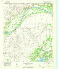
1968 · Prairie Valley School
USGS Topo · 1:24,000