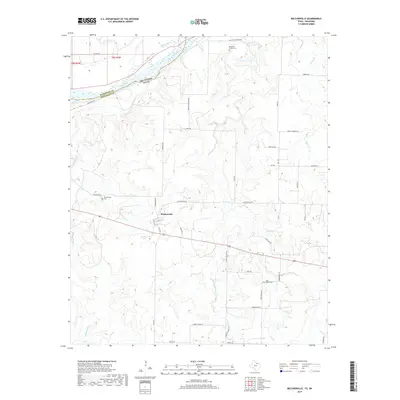
2019 Map of Belcherville
USGS Topo · Published 2019About this map
Belcherville stands as the primary settlement in this corner of North Texas, situated along the Old Wichita Hwy and US Route 82. The landscape is defined by its proximity to the Red River, which forms the border with Oklahoma and Jefferson County. Several local watersheds, including Belknap Cr, Salt Cr, and Pecan Cr, cut through the terrain, draining northward toward the river or southward toward the Club Lake area.
Find a feature on this map
45 named features on this map. Tap any name to fly to it.
Don’t see what you’re looking for? This feature index may not catch every label — zoom into the map to look around manually.
Map Details
Editions of this 2019 Belcherville Map
This is the sole edition of this map. No revisions or reprints were ever made.
Other maps of this area

1905 · Montague
USGS Topo · 1:125,000

1954 · Sherman
USGS Topo · 1:250,000

1958 · Sherman
USGS Topo · 1:250,000

1960 · Buzzard Roost Knob
USGS Topo · 1:24,000

1961 · Stoneburg
USGS Topo · 1:24,000

1961 · Montague
USGS Topo · 1:24,000
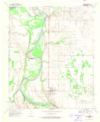
1968 · Terral
USGS Topo · 1:24,000

1968 · Nocona
USGS Topo · 1:24,000

1968 · Fleetwood
USGS Topo · 1:24,000
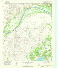
1968 · Prairie Valley School
USGS Topo · 1:24,000