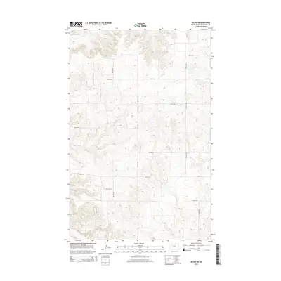
2014 Map of Belden SW
USGS Topo · Published 2014About this map
The Little Knife River winds through the northwestern corner of this territory, carving a distinct valley through the high prairie of Mountrail County. This landscape is defined by the rigid grid of the Public Land Survey System, with section lines clearly marked by rural corridors like 85th Ave NW and 47th St NW. The topography reveals a series of draws and ridges typical of the Missouri Plateau, where the drainage patterns towards the river have shaped the land over millennia.
Find a feature on this map
13 named features on this map. Tap any name to fly to it.
Don’t see what you’re looking for? This feature index may not catch every label — zoom into the map to look around manually.
Map Details
Editions of this 2014 Belden SW Map
This is the sole edition of this map. No revisions or reprints were ever made.
Other maps of this area

1953 · Williston
USGS Topo · 1:250,000

1953 · Watford City
USGS Topo · 1:250,000

1957 · Williston
USGS Topo · 1:250,000

1957 · Watford City
USGS Topo · 1:250,000

1967 · Watford City
USGS Topo · 1:250,000

1967 · Sanish
USGS Topo · 1:24,000

1981 · Belden SW
USGS Topo · 1:24,000

1981 · Robinson Lake
USGS Topo · 1:24,000

1981 · New Town
USGS Topo · 1:24,000
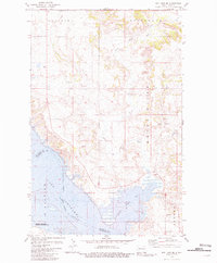
1981 · Rat Lake SE
USGS Topo · 1:24,000