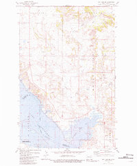
1981 Map of Rat Lake SE
USGS Topo · Published 1981This historical map portrays the area of Rat Lake SE in 1981, primarily covering Mountrail County as well as portions of McKenzie County. Featuring a scale of 1:24000, this map provides a highly detailed snapshot of the terrain, roads, buildings, counties, and historical landmarks in the Rat Lake SE region at the time. Published in 1981, it is the sole known edition of this map.
Map Details
Editions of this 1981 Rat Lake SE Map
This is the sole edition of this map. No revisions or reprints were ever made.
Historical Maps of Mountrail County Through Time
31 maps found
1965 Charlson NE
Mountrail County, ND
1967 New Town SW
Mountrail County, ND
1967 Sanish
Mountrail County, ND
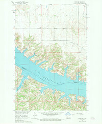
1967 Sanish SE
Mountrail County, ND
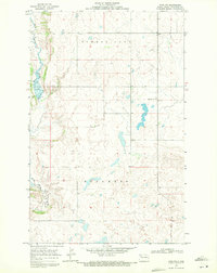
1969 Ross NW
Mountrail County, ND
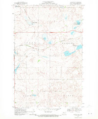
1969 Stanley SE
Mountrail County, ND
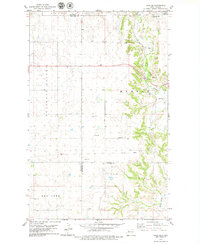
1979 Tioga SE
Mountrail County, ND
1980 Tagus
Mountrail County, ND
1980 Wabek
Mountrail County, ND
1981 Belden
Mountrail County, ND
1981 Belden SE
Mountrail County, ND
1981 Belden SW
Mountrail County, ND
1981 Blaisdell
Mountrail County, ND
1981 Clearwater Lake
Mountrail County, ND
1981 Cottonwood Lake
Mountrail County, ND
1981 Epworth
Mountrail County, ND
1981 Epworth NW
Mountrail County, ND
1981 Epworth SE
Mountrail County, ND
1981 Lostwood
Mountrail County, ND
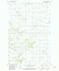
1981 Manitou
Mountrail County, ND
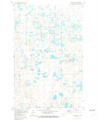
1981 Palermo NE
Mountrail County, ND
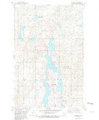
1981 Palermo NW
Mountrail County, ND
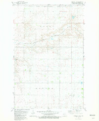
1981 Parshall NE
Mountrail County, ND
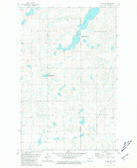
1981 Plaza NW
Mountrail County, ND
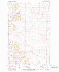
1981 Rat Lake
Mountrail County, ND

1981 Rat Lake SE
Mountrail County, ND
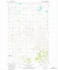
1981 Robinson Lake
Mountrail County, ND
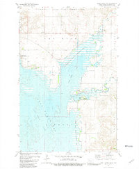
1981 Shell Creek Bay
Mountrail County, ND
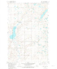
1981 Shell Lake
Mountrail County, ND
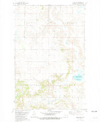
1981 Sikes Dam
Mountrail County, ND
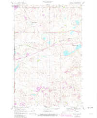
1981 Stanley SE
Mountrail County, ND