
1981 Map of Stanley SE
USGS Topo · Published 1981About this map
The Little Knife River winds through this segment of Mountrail County, defining a landscape of glacial potholes and conservation lands in the early 1980s. The territory is organized into distinct sections like Idaho, Palermo, Purcell, and Burke, reflecting the rectangular survey system that governed the High Plains. Transport and industry are marked by the Burlington Northern railroad corridor, which cuts across the terrain near several Gravel Pits. Significant portions of the land are dedicated to conservation, including the James Hill Twp National Wildlife Management Area and the Palermo State Game Management Area, illustrating the region's commitment to preserving waterfowl habitat amidst its agricultural and industrial activity.
Find a feature on this map
13 named features on this map. Tap any name to fly to it.
Don’t see what you’re looking for? This feature index may not catch every label — zoom into the map to look around manually.
Map Details
Editions of this 1981 Stanley SE Map
This is the sole edition of this map. No revisions or reprints were ever made.
Other maps of this area

1953 · Williston
USGS Topo · 1:250,000

1957 · Williston
USGS Topo · 1:250,000

1969 · Stanley
USGS Topo · 1:24,000

1969 · Stanley SE
USGS Topo · 1:24,000

1981 · Lostwood
USGS Topo · 1:24,000

1981 · Palermo
USGS Topo · 1:24,000
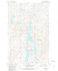
1981 · Palermo NW
USGS Topo · 1:24,000
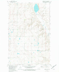
1981 · Epworth NW
USGS Topo · 1:24,000
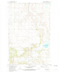
1981 · Sikes Dam
USGS Topo · 1:24,000
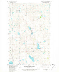
1981 · Clearwater Lake
USGS Topo · 1:24,000