
1981 Map of Palermo
USGS Topo · Published 1981About this map
Palermo is the central hub of this North Dakota landscape, situated along the Burlington Northern railroad line during the early 1980s. The town's layout includes essential community landmarks such as Faith Ch and Rest Haven Cem, providing a detailed look at the settlement's social and historical fabric. The surrounding prairie is defined by its glacial pothole geology, characterized by numerous small, scattered water bodies and significant conservation tracts designated as the National Waterfowl Production Area. To the northwest, Clear Water stands out among the wetlands. The terrain is marked by township divisions including Redmond, McGahan, and Burke, with the local economy's reliance on raw materials evidenced by several Gravel Pits distributed across the prairie.
Find a feature on this map
12 named features on this map. Tap any name to fly to it.
Don’t see what you’re looking for? This feature index may not catch every label — zoom into the map to look around manually.
Map Details
Editions of this 1981 Palermo Map
This is the sole edition of this map. No revisions or reprints were ever made.
Other maps of this area

1953 · Williston
USGS Topo · 1:250,000

1957 · Williston
USGS Topo · 1:250,000

1969 · Stanley SE
USGS Topo · 1:24,000

1981 · Stanley SE
USGS Topo · 1:24,000
1981 · Palermo NE
USGS Topo · 1:24,000
1981 · Shell Lake
USGS Topo · 1:24,000
1981 · Palermo NW
USGS Topo · 1:24,000
1981 · Epworth NW
USGS Topo · 1:24,000
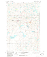
1981 · Blaisdell
USGS Topo · 1:24,000
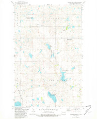
1981 · Clearwater Lake
USGS Topo · 1:24,000