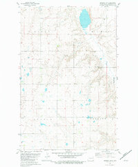
1981 Map of Epworth NW
USGS Topo · Published 1981About this map
The rolling prairie of Mountrail County is defined by a scattering of small glacial lakes and localized industry in this early 1980s survey. Much of the eastern landscape is dedicated to the Shell Lake National Wildlife Refuge, which provides a protected environment for the region's waterfowl and native flora. Human presence is concentrated around established township lines, with Austin and Oakland townships anchoring the southern half of the quadrangle. Local infrastructure is minimal, consisting primarily of section-line roads and a small Gravel Pit near the northern boundary. For those researching family ties to the area, the map preserves the location of the Epworth Cem and a solitary Townhall, marking the civic and commemorative centers of this rural agricultural community near the border with Burke County.
Find a feature on this map
10 named features on this map. Tap any name to fly to it.
Don’t see what you’re looking for? This feature index may not catch every label — zoom into the map to look around manually.
Map Details
Editions of this 1981 Epworth NW Map
This is the sole edition of this map. No revisions or reprints were ever made.
Other maps of this area

1953 · Williston
USGS Topo · 1:250,000

1957 · Williston
USGS Topo · 1:250,000

1969 · Stanley SE
USGS Topo · 1:24,000
1981 · Epworth SE
USGS Topo · 1:24,000
1981 · Belden SE
USGS Topo · 1:24,000

1981 · Stanley SE
USGS Topo · 1:24,000

1981 · Palermo
USGS Topo · 1:24,000
1981 · Shell Lake
USGS Topo · 1:24,000
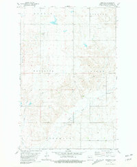
1981 · Epworth
USGS Topo · 1:24,000
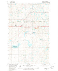
1981 · Blaisdell
USGS Topo · 1:24,000