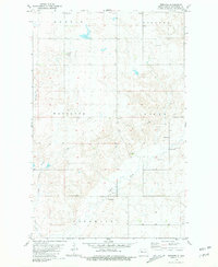
1981 Map of Epworth
USGS Topo · Published 1981About this map
The settlement of Epworth anchors this section of Mountrail County, serving as a focal point for the surrounding prairie townships. Recorded during a period of agricultural stability in the early 1980s, the map highlights the intersection of local history and modern utility, from the established Epworth Cem and Johns Cem to the infrastructure of a prominent pipeline and numerous Gravel Pits. The drainage of West Shell Creek defines the lower topography of the area, monitored by a specific Gaging Station located near a series of gravel operations. The township boundaries of Austin, Oakland, Wayzetta, and Shell provide a structured look at the rural organization of the North Dakota landscape during this era.
Find a feature on this map
14 named features on this map. Tap any name to fly to it.
Don’t see what you’re looking for? This feature index may not catch every label — zoom into the map to look around manually.
Map Details
Editions of this 1981 Epworth Map
This is the sole edition of this map. No revisions or reprints were ever made.
Other maps of this area

1953 · Williston
USGS Topo · 1:250,000

1953 · Watford City
USGS Topo · 1:250,000

1957 · Williston
USGS Topo · 1:250,000

1957 · Watford City
USGS Topo · 1:250,000

1967 · Watford City
USGS Topo · 1:250,000
1981 · Parshall NE
USGS Topo · 1:24,000
1981 · Epworth SE
USGS Topo · 1:24,000
1981 · Belden SE
USGS Topo · 1:24,000
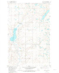
1981 · Shell Lake
USGS Topo · 1:24,000
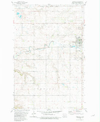
1981 · Parshall
USGS Topo · 1:24,000