Loading...
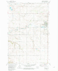
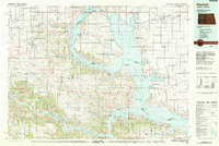
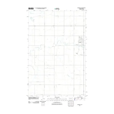
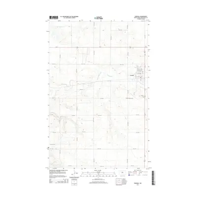
Loading map...1981 Map of Parshall
USGS Topo · Published 1981About this map
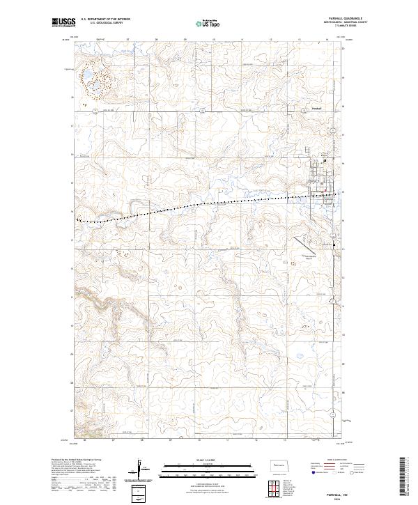
Parshall serves as the primary hub of this Mountrail County landscape, situated within the Fort Berthold Indian Reservation Boundary. The town is well-developed for the era, featuring a grid of residential and commercial streets, a Trailer Park, and local recreation facilities such as the Golf Course. Just outside the town limits, Hankins Field and the Parshall Cem provide clear landmarks for genealogical and historical research.
Find a feature on this map
16 named features on this map. Tap any name to fly to it.
Don’t see what you’re looking for? This feature index may not catch every label — zoom into the map to look around manually.
Map Details
Date Portrayed1981
Date Published1981
PublisherU.S. Geological Survey
Map TypeTopographic
Scale1:24,000
Physical Dimensions22.2 x 27 inches
Editions of this 1981 Parshall Map
This is the sole edition of this map. No revisions or reprints were ever made.
Historical Maps of New Town Through Time
7 maps found
Featured Locations
Source Details
SourceU.S. Geological Survey
CopyrightPublic Domain