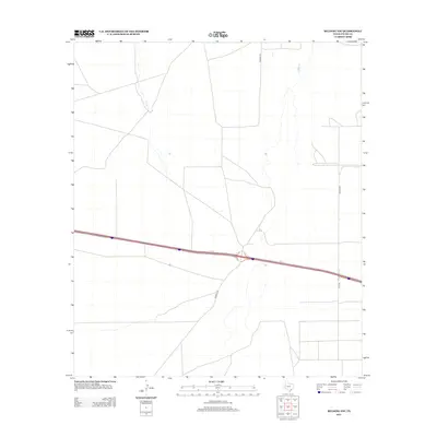
2012 Map of Belding NW
USGS Topo · Published 2012About this map
The West Texas desert landscape of Pecos County is defined by the east-west corridor of Ih 10 and a sparse network of ranching and access roads. The terrain is relatively flat, marked by subtle drainages and the long, straight stretches of local routes like Kennedy Rd and Braden Rd. These roads provide critical connectivity through an arid environment where large-scale land management and transportation are the primary human imprints. Near the eastern edge of the sheet, Riley Rd meets the interstate, highlighting the logistical importance of these transit points for the remote properties and ranchlands that characterize this portion of the Permian Basin region.
Find a feature on this map
4 named features on this map. Tap any name to fly to it.
Don’t see what you’re looking for? This feature index may not catch every label — zoom into the map to look around manually.
Map Details
Editions of this 2012 Belding NW Map
This is the sole edition of this map. No revisions or reprints were ever made.
Other maps of this area

1929 · Hovey
USGS Topo · 1:125,000

1931 · Barstow
USGS Topo · 1:125,000

1954 · Pecos
USGS Topo · 1:250,000

1954 · Fort Stockton
USGS Topo · 1:250,000

1957 · Pecos
USGS Topo · 1:250,000

1958 · Fort Stockton
USGS Topo · 1:250,000

1970 · Belding SW
USGS Topo · 1:24,000

1970 · Tucker Hill
USGS Topo · 1:24,000

1970 · Deep Well Ranch SE
USGS Topo · 1:24,000

1970 · Belding NW
USGS Topo · 1:24,000