
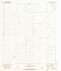
1970 Map of Belding NW
USGS Topo · Published 1973About this map
Coyanosa Draw carves a winding path through this corner of Pecos County, defining a landscape of intermittent water drainage and wide-ranging ranching operations. In the early 1970s, the area's infrastructure was marked by utility and aviation, featuring a Landing Strip and numerous wells and Wells scattered across the terrain. These water sources and the localized Gravel Pit operations reflect the practical, resource-driven settlement pattern of West Texas, where water accessibility dictated land use. Interstate transit is prominent here, shown as a major divided highway intersecting the drainage at Bruce 3. The map's detail preserves the specific placement of fence lines and benchmarks like BM 3037, offering a precise record of property and elevation for a region defined by its aridity and expansive horizons.
Find a feature on this map
6 named features on this map. Tap any name to fly to it.
Don’t see what you’re looking for? This feature index may not catch every label — zoom into the map to look around manually.
Map Details
Editions of this 1970 Belding NW Map
This is the sole edition of this map. No revisions or reprints were ever made.
Other maps of this area

1929 · Hovey
USGS Topo · 1:125,000

1931 · Barstow
USGS Topo · 1:125,000

1954 · Pecos
USGS Topo · 1:250,000

1954 · Fort Stockton
USGS Topo · 1:250,000

1957 · Pecos
USGS Topo · 1:250,000

1958 · Fort Stockton
USGS Topo · 1:250,000

1970 · Belding SW
USGS Topo · 1:24,000

1970 · Tucker Hill
USGS Topo · 1:24,000

1970 · Deep Well Ranch SE
USGS Topo · 1:24,000
1970 · Barstow 3 SE
USGS Topo · 1:24,000