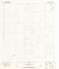
1970 Map of Barstow 3 SE
USGS Topo · Published 1973About this map
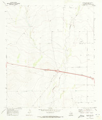
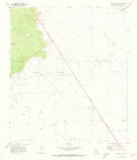
The arid ranchlands of the West Texas desert appear here as they were during the late 1960s and early 1970s. The landscape of the Trans-Pecos is defined by vital water infrastructure and extraction sites, including McCarmack Windmill and East Sanders Windmill. Agriculture is anchored by the Blue Ridge Farm, situated near the prominent local terrain of Blue Ridge. The map illustrates the shifting boundaries between Reeves and Pecos counties, bisected by an Indefinite Boundary line. Transportation is sparse, primarily focused on Mendel Road, which navigates a territory dotted with numerous Gas Wells, Oil Wells, and a Drill Hole. This survey effectively captures the industrial footprint of the energy sector alongside traditional cattle ranching in a remote section of the Permian Basin.
Find a feature on this map
11 named features on this map. Tap any name to fly to it.
Don’t see what you’re looking for? This feature index may not catch every label — zoom into the map to look around manually.
Map Details
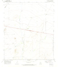
Editions of this 1970 Barstow 3 SE Map
2 editions found

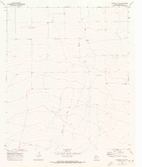
Other maps of this area

1929 · Hovey
USGS Topo · 1:125,000
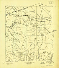
1931 · Barstow
USGS Topo · 1:125,000

1954 · Pecos
USGS Topo · 1:250,000

1954 · Fort Stockton
USGS Topo · 1:250,000

1957 · Pecos
USGS Topo · 1:250,000

1958 · Fort Stockton
USGS Topo · 1:250,000
1970 · Tucker Hill
USGS Topo · 1:24,000
1970 · Barstow 3 SW
USGS Topo · 1:24,000
1970 · Belding NW
USGS Topo · 1:24,000
1970 · Barstow 3 NE
USGS Topo · 1:24,000