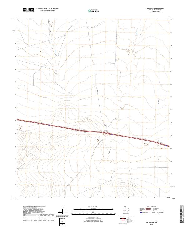
2022 Map of Belding NW
USGS Topo · Published 2022About this map
Ephemeral watercourses define the arid landscape of Pecos County, where the topography is shaped by seasonal drainage systems like Hackberry Draw in the northwest and the winding course of Coyanosa Draw further south. This 2022 survey documents a sparsely populated region of West Texas where human presence is primarily marked by a grid of ranch and access roads. The transit corridor is dominated by the east-west path of I10 Svc Rd, while north-south connectivity is provided by gravel and dirt routes such as Kennedy Rd and Braden Rd. These roads serve as vital links between remote landholdings and irrigation sites, reflecting the late 20th and early 21st-century agricultural and ranching infrastructure characteristic of the Trans-Pecos region. The map provides a clear look at the relationship between the natural elevation contours and the placement of modern transportation routes across this high desert environment.
Find a feature on this map
6 named features on this map. Tap any name to fly to it.
Don’t see what you’re looking for? This feature index may not catch every label — zoom into the map to look around manually.
Map Details
Editions of this 2022 Belding NW Map
This is the sole edition of this map. No revisions or reprints were ever made.
Other maps of this area

1929 · Hovey
USGS Topo · 1:125,000

1931 · Barstow
USGS Topo · 1:125,000

1954 · Pecos
USGS Topo · 1:250,000

1954 · Fort Stockton
USGS Topo · 1:250,000

1957 · Pecos
USGS Topo · 1:250,000

1958 · Fort Stockton
USGS Topo · 1:250,000

1970 · Belding SW
USGS Topo · 1:24,000

1970 · Tucker Hill
USGS Topo · 1:24,000

1970 · Deep Well Ranch SE
USGS Topo · 1:24,000

1970 · Belding NW
USGS Topo · 1:24,000