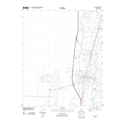
2010 Map of Belen
USGS Topo · Published 2010About this map
The Rio Grande corridor in Valencia County defines this landscape, where an intricate network of irrigation and drainage infrastructure supports the valley's development. Features such as the Belen Highline Canal, Garcia Ditch, and Old Belen Ditch illustrate the engineering required to manage water in the high desert, while the Houston Arroyo Dam provides critical flood control for the plains to the west.
Find a feature on this map
54 named features on this map. Tap any name to fly to it.
Don’t see what you’re looking for? This feature index may not catch every label — zoom into the map to look around manually.
Map Details
Editions of this 2010 Belen Map
This is the sole edition of this map. No revisions or reprints were ever made.
Other maps of this area

1952 · Dalies
USGS Topo · 1:24,000

1952 · Belen SW
USGS Topo · 1:24,000

1952 · Belen
USGS Topo · 1:24,000

1952 · Turn
USGS Topo · 1:24,000

1952 · Veguita
USGS Topo · 1:24,000

1952 · Belen NW
USGS Topo · 1:24,000

1952 · Rio Puerco
USGS Topo · 1:24,000

1952 · Tome
USGS Topo · 1:24,000

1952 · Los Lunas
USGS Topo · 1:24,000

1954 · Socorro
USGS Topo · 1:250,000