
1964 Map of Belfast
USGS Topo · Published 1965About this map
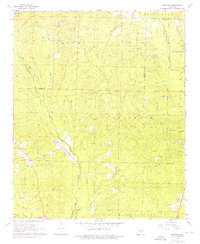
The small settlement of Belfast serves as the focal point of this mid-1960s landscape, situated along the Missouri Pacific railroad corridor. The area is characterized by its agricultural and forest clearing patterns, defined by several rural congregations and their associated burial grounds, including Palestine Ch and Corinth Ch, with Corinth Cem and Jones Cem nearby. The topography is shaped by a dense network of tributaries like Hurricane Creek and Wet Lost Creek, which drain the timbered ridges of Mars Hill.
Find a feature on this map
31 named features on this map. Tap any name to fly to it.
Don’t see what you’re looking for? This feature index may not catch every label — zoom into the map to look around manually.
Map Details
Editions of this 1964 Belfast Map
4 editions found
Other maps of this area

1890 · Benton
USGS Topo · 1:125,000

1891 · Little Rock
USGS Topo · 1:125,000

1893 · Little Rock
USGS Topo · 1:125,000

1894 · Benton
USGS Topo · 1:125,000

1935 · Alexander
USGS Topo · 1:48,000

1938 · Benton
USGS Topo · 1:48,000

1941 · Alexander
USGS Topo · 1:62,500

1944 · Benton
USGS Topo · 1:62,500

1944 · Spring Lake
USGS Topo · 1:31,680

1944 · Bryant
USGS Topo · 1:31,680