Loading...
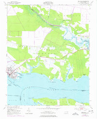
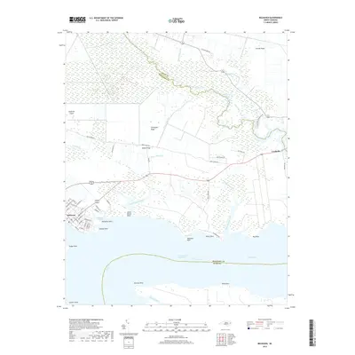
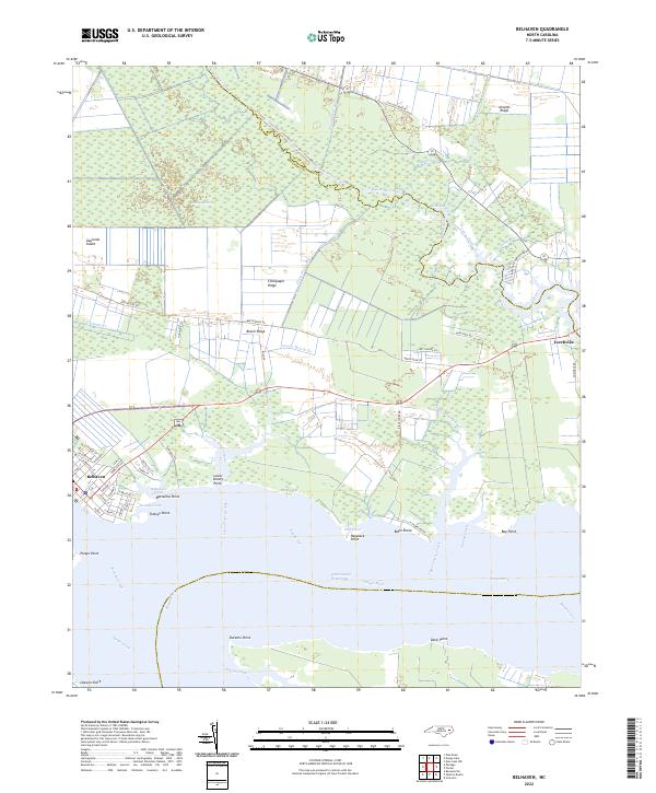
Loading map...1916 Map of Belhaven
USGS Topo · Published 1944About this map
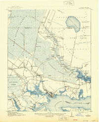
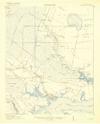
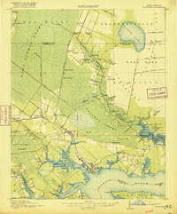
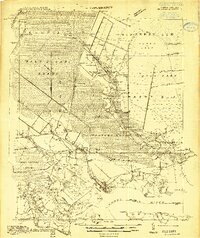
The low-lying coastal plains of eastern North Carolina are defined by an intricate network of waterways and reclaimed timberlands in this 1914 survey. The Pungo River and its numerous tributaries, including Pungo Creek and Pantego Creek, provide the primary structure for the landscape, where the town of Belhaven sits as a key hub for waterborne transit. To the north, the East Dismal Swamp dominates the terrain, heavily modified by a system of drainage features like the North Ditch, West Ditch, and the Intercepting Canal.
Find a feature on this map
87 named features on this map. Tap any name to fly to it.
Don’t see what you’re looking for? This feature index may not catch every label — zoom into the map to look around manually.
Map Details
Date Portrayed1916
Date Published1944
PublisherU.S. Geological Survey
Map TypeTopographic
Scale1:62,500
Physical Dimensions17 x 21 inches
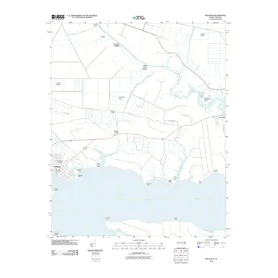
Editions of this 1916 Belhaven Map
3 editions found
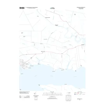
Historical Maps of Belhaven Through Time
8 maps found
Featured Locations
Source Details
SourceU.S. Geological Survey
CopyrightPublic Domain