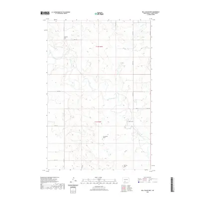
2020 Map of Bell Coulee West
USGS Topo · Published 2020About this map
The Cannonball River meanders across this rural section of Grant County, creating a distinct riparian corridor through the high plains. This landscape is defined by its prominent landforms, notably Rattlesnake Butte and Thompson Butte, which serve as significant visual anchors for researchers studying regional topography. The drainage patterns are further marked by Sixmile Cr and the eponymous Bell Coulee, which shape the local hydrology.
Find a feature on this map
19 named features on this map. Tap any name to fly to it.
Don’t see what you’re looking for? This feature index may not catch every label — zoom into the map to look around manually.
Map Details
Editions of this 2020 Bell Coulee West Map
This is the sole edition of this map. No revisions or reprints were ever made.
Other maps of this area

1954 · Bismarck
USGS Topo · 1:250,000

1958 · Bismarck
USGS Topo · 1:250,000

1971 · Lookout Butte
USGS Topo · 1:24,000

1971 · Lookout Butte SE
USGS Topo · 1:24,000

1972 · Carson SE
USGS Topo · 1:24,000

1972 · Paradise Flats
USGS Topo · 1:24,000
1972 · Pitt Creek
USGS Topo · 1:24,000

1980 · Brisbane
USGS Topo · 1:24,000

1980 · Bell Coulee West
USGS Topo · 1:24,000

1980 · Bell Coulee East
USGS Topo · 1:24,000