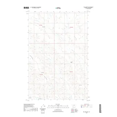
2020 Map of Bell Ridge East
USGS Topo · Published 2020About this map
Bell Ridge and the complex drainage of the Siparyann Cr define this portion of Phillips County. The landscape is characterized by its high points and deep breaks, including the prominent Square Butte and the elongated Siparyann Ridge. To the south, the topography transitions into the Missouri River breaks environment, evidenced by the broad Bell Bottoms, Pugh Coulee, and Jones Island. Transport through this remote Missouri River country is facilitated by the CMR Auto Nature Tour Rd, which winds through the western sections of the township. Water is a primary driver of the land's form here, with Little Cottonwood Cr, Cottonwood Cr, and Rock Cr carving distinct pathways through the high plains. The map provides a detailed view of the Public Land Survey System (PLSS) grid across multiple townships, including T22N R24E and T23N R25E.
Find a feature on this map
16 named features on this map. Tap any name to fly to it.
Don’t see what you’re looking for? This feature index may not catch every label — zoom into the map to look around manually.
Map Details
Editions of this 2020 Bell Ridge East Map
This is the sole edition of this map. No revisions or reprints were ever made.
Other maps of this area

1943 · Landusky
USGS Topo · 1:125,000

1954 · Bell Ridge East
USGS Topo · 1:24,000

1954 · Hessler Ridge
USGS Topo · 1:24,000

1954 · Carter Coulee
USGS Topo · 1:24,000

1954 · Bell Ridge West
USGS Topo · 1:24,000

1954 · Lewistown
USGS Topo · 1:250,000

1959 · Lewistown
USGS Topo · 1:250,000

1971 · Robinson School
USGS Topo · 1:24,000

1971 · Hays SE
USGS Topo · 1:24,000
1971 · D Y Junction
USGS Topo · 1:24,000