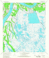
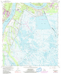
1966 Map of Belle Chasse
USGS Topo · Published 1968About this map
Mississippi River meanders sharply through this mid-1960s landscape, defining the boundaries between Orleans, St. Bernard, and Plaquemines parishes. The western bank is anchored by the community of Belle Chasse, where the Belle Chasse Ferry provides a vital river crossing and the Sea Train Terminal indicates the era's maritime industrial activity. On the opposite bank, small settlements like Braithwaite, Scarsdale, and Caernarvon sit protected behind an extensive levee system, bordered by the Southern Railroad.
Find a feature on this map
49 named features on this map. Tap any name to fly to it.
Don’t see what you’re looking for? This feature index may not catch every label — zoom into the map to look around manually.
Map Details
Editions of this 1966 Belle Chasse Map
6 editions found
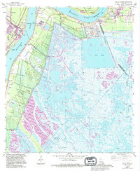
Other maps of this area

1891 · Pointe a La Hache
USGS Topo · 1:62,500

1891 · New Orleans
USGS Topo · 1:62,500

1892 · Barataria
USGS Topo · 1:62,500

1892 · St. Bernard
USGS Topo · 1:62,500

1892 · Pointe a La Hache
USGS Topo · 1:62,500

1932 · New Orleans NE
USGS Topo · 1:31,680

1932 · New Orleans SE
USGS Topo · 1:31,680

1935 · Delacroix
USGS Topo · 1:31,680

1935 · Lake Batola
USGS Topo · 1:31,680
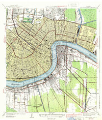
1939 · New Orleans East
USGS Topo · 1:31,680