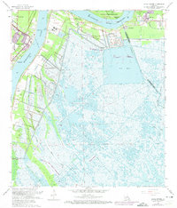
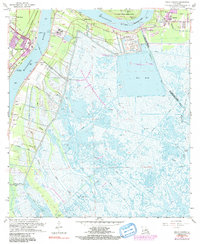
1966 Map of Belle Chasse
USGS Topo · Published 1973About this map
Belle Chasse sits at the heart of this mid-1960s survey, where the sharp curve of the Mississippi River dictates the layout of industry and settlement. The landscape is defined by the transition from protected levee lands to the expansive wetlands of the Mississippi delta, including Big Mar and Lake Lery. Along the riverbanks, the New Orleans and Lower Coast railroad serves as a critical corridor for riverside communities like Stella and Dalcour. The map records significant infrastructure of the era, from the Scarsdale Pumping Station to the U S Coast Guard Reservation. Local heritage is anchored by landmarks such as Bethlehem Ch and the English Turn Cem, reflecting the deep-seated parish history along the borders of Orleans Parish, St Bernard Parish, and Plaquemines Parish.
Find a feature on this map
37 named features on this map. Tap any name to fly to it.
Don’t see what you’re looking for? This feature index may not catch every label — zoom into the map to look around manually.
Map Details
Editions of this 1966 Belle Chasse Map
6 editions found
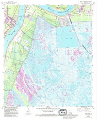
Other maps of this area

1891 · Pointe a La Hache
USGS Topo · 1:62,500

1891 · New Orleans
USGS Topo · 1:62,500

1892 · Barataria
USGS Topo · 1:62,500

1892 · St. Bernard
USGS Topo · 1:62,500

1892 · Pointe a La Hache
USGS Topo · 1:62,500

1932 · New Orleans NE
USGS Topo · 1:31,680

1932 · New Orleans SE
USGS Topo · 1:31,680

1935 · Delacroix
USGS Topo · 1:31,680

1935 · Lake Batola
USGS Topo · 1:31,680
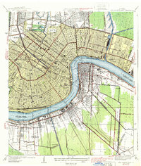
1939 · New Orleans East
USGS Topo · 1:31,680